When John and Dudley Macfarlane purchased a historic farmstead in Virginia’s Blue Ridge in 2003, they knew of the work ahead of them—rehabilitating the main house, outfitting the barns, and taming the horse pastures—would take time. Once they were moved in and the Macfarlanes began to walk the fields and woods of their new property and speak with their neighbors, they soon realized there were additional tasks requiring their attention.
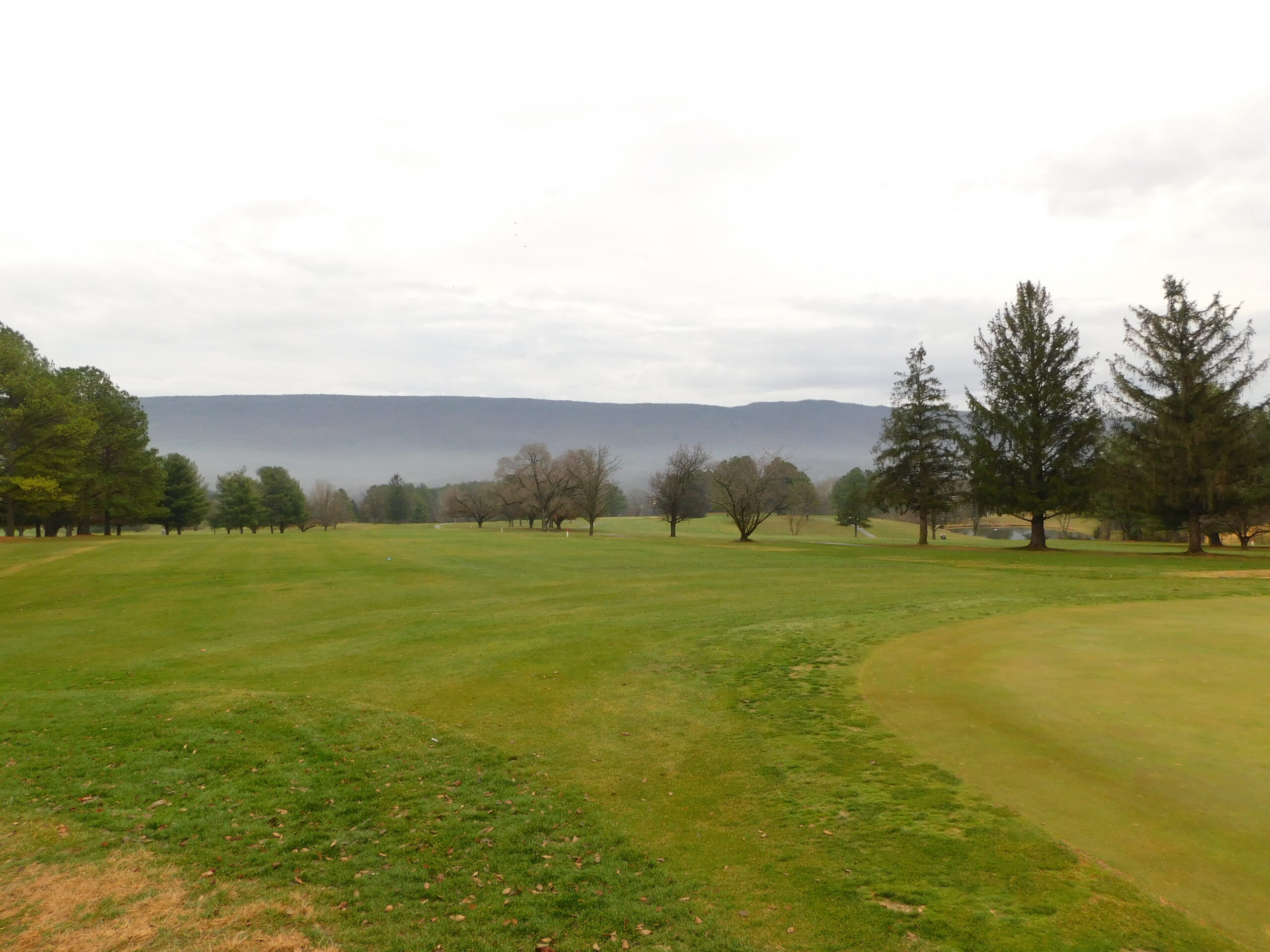
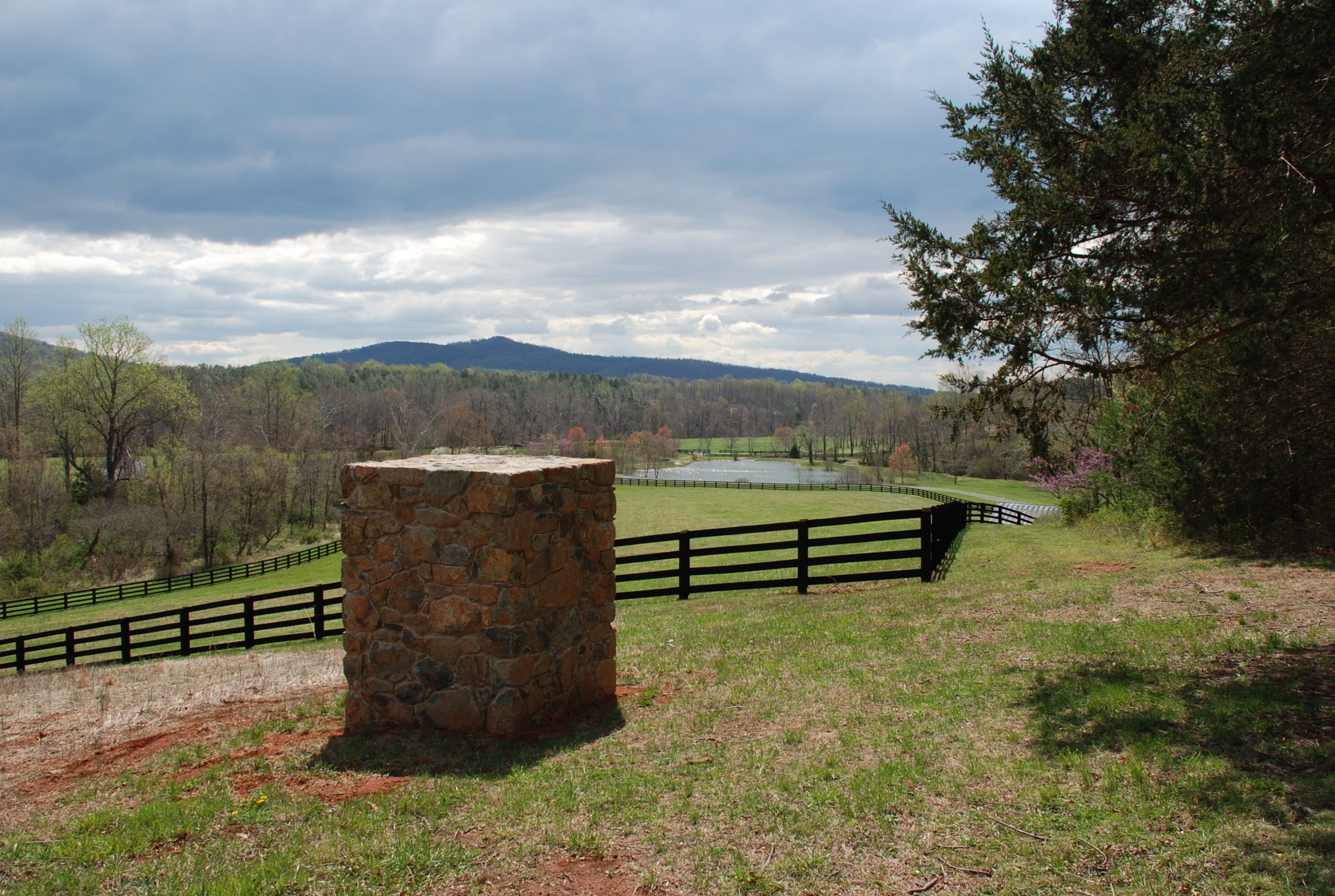
The property they purchased is called Mount Fair and the main house remains as one of the best preserved examples of antebellum architecture in Albemarle County (the property was listed in 1990 on the state and national historic registers). Once part of an 800-acre estate belonging to William Brown, Mount Fair is situated in rolling foothills just north of Crozet, and east of the Blue Ridge. The property still retains its rural character and a preservation easement administered by DHR has protected it since 1994. In addition to the main house, the easement also protects several historic outbuildings as well as approximately 78 acres of open space comprised of rolling pastures and woodlands.
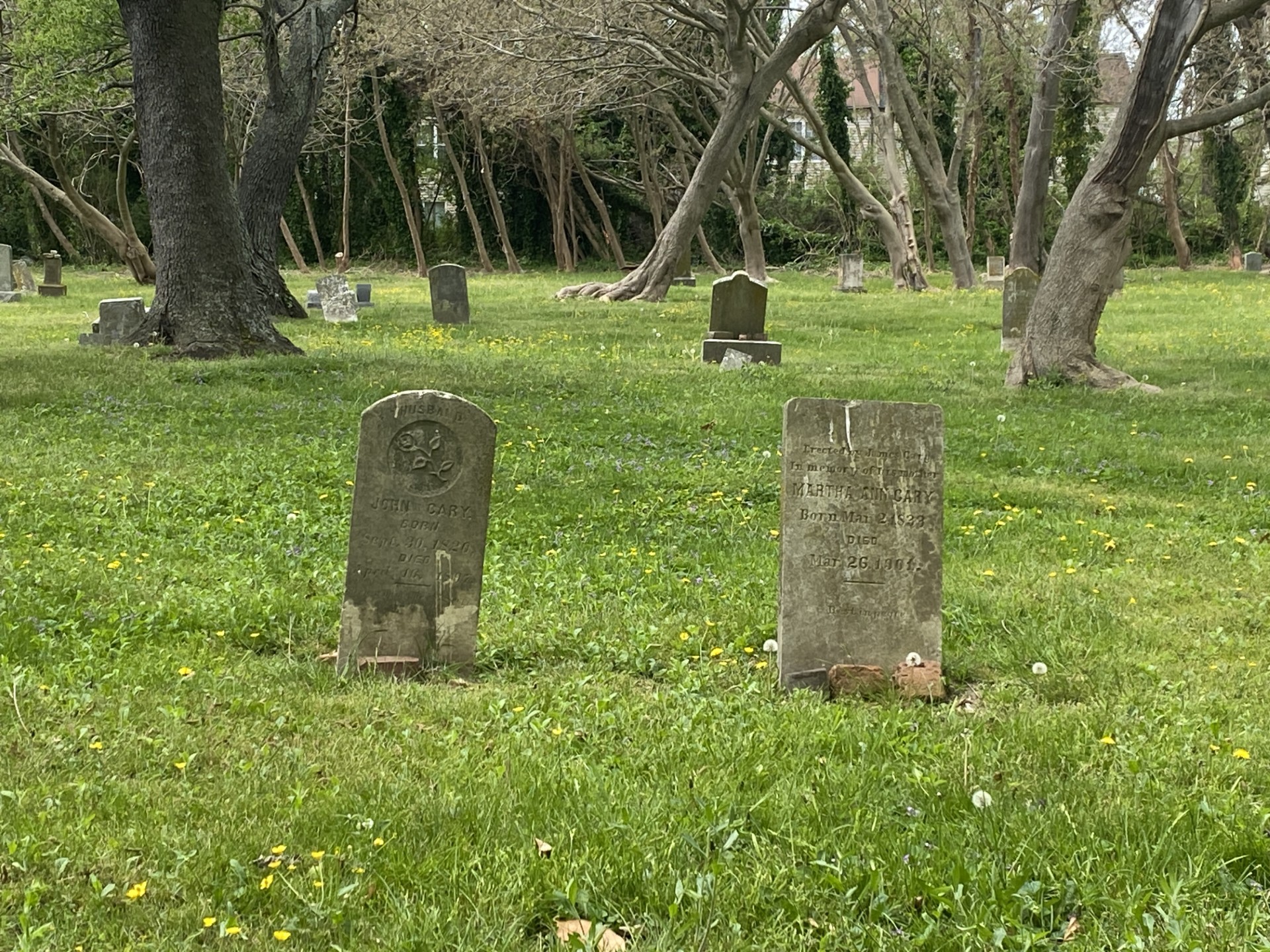
The Macfarlanes discovered there was more to this property than the ca. 1840 manor house and outbuildings when they found the structural remains of at least three dwellings that may have served as quarters for the enslaved persons who once lived and worked on the farm. Today, these remnants are visible as stone rubble piles as well as a still-standing portion of a chimney.
In subsequent conversations with neighbors, the Macfarlanes found out that the burials of individuals who had lived, worked, and died on the property might still be present somewhere on the farm. John recalls, “I was talking with neighbors and was told, ‘well you know there is an enslaved cemetery on the property’ and we didn’t know where it was, we couldn’t find it.”
Not to be deterred, John gave his farm manager the job of searching for the cemetery location somewhere within their property. This is no easy task. Slave cemeteries are rarely indicated on historic maps and, therefore, do not appear in online searchable maps. While primary source material, such as census records, family papers, or wills, can provide tangential clues about an enslaved community on a given historic property, the process of actually locating a cemetery on the landscape requires careful reading of the physical environment and examination of ephemeral clues from the ground surface, vegetation patterns, and tree cover. Clusters of mature tress amidst smaller or invasive tree species, ever-green ground cover such as periwinkle or vinca, and intentional plantings such as daffodils, lilies, or yucca may all be possible indicators of a cemetery location (see Rainville 2014: p. 12-16).
In the case of Mount Fair, John’s farm manager suspected he had found the location based on the presence of numerous shallow depressions in a densely overgrown area to the north of the main house. Once the area was identified, the challenge of carefully clearing to define the limits of the cemetery began.
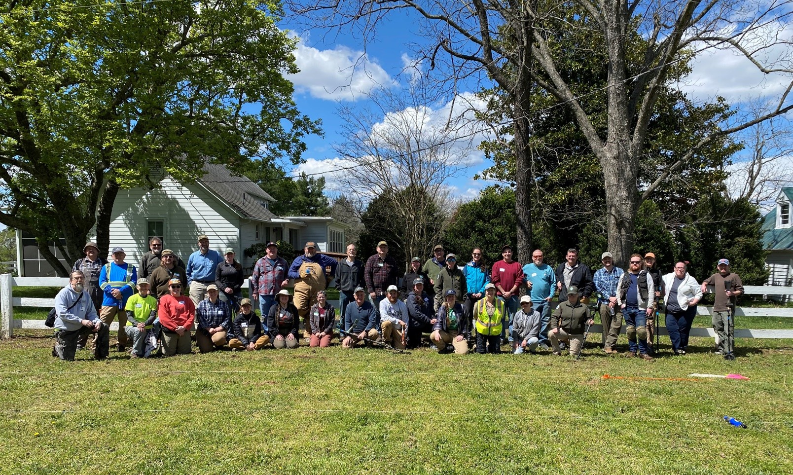
Dr. Lynn Rainville aided their efforts. A Virginia-based researcher and public historian, Dr. Rainville has devoted a great deal of her professional life to documenting African-American cemeteries and reconnecting descendant communities with their lost ancestors. Aided by funding from Virginia Humanities, Dr. Rainville and her assistants revealed the Mount Fair slave cemetery to be over 1.5 acres in size and containing at least 120 individuals. While undecorated fieldstones indicated many of the graves, several additional graves exhibited no markers at all (Rainville 2014: 119-121).
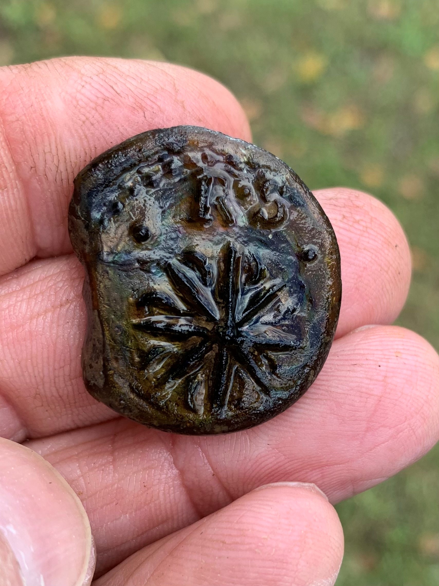
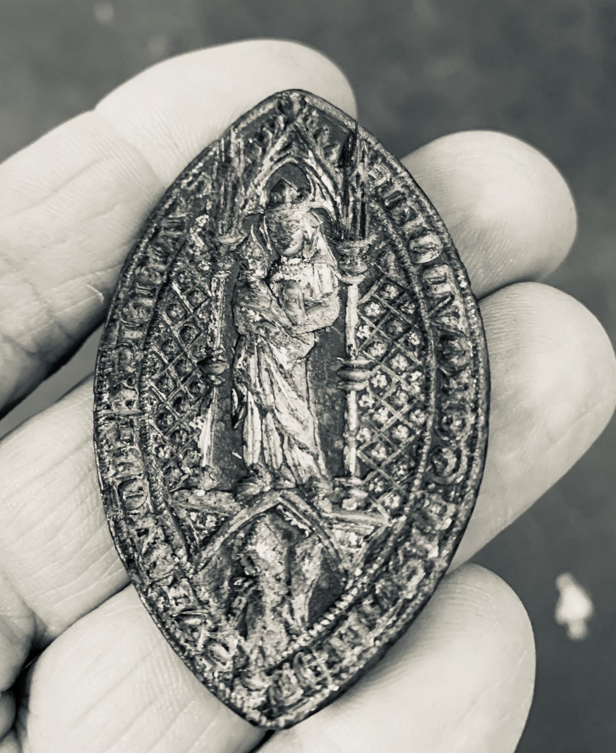
Next, the team plotted the area with electronic surveying equipment and produced a detailed map of the cemetery. This map revealed distinct patterns as different clusters or groups of interments—possibly from familial or kin groups—became apparent. During the mapping exercise, workers would carefully clear the vegetation around an individual burial in order to get an accurate measurement. During this process, several interesting artifacts were observed in direct association with a few of the burials, including a horseshoe, perhaps placed as an offering of luck, a snuff box, and a harmonica. While the presence of these items is interesting in and of itself, they also provided crucial evidence as to the possible usage dates of the cemetery in the mid-19th century (Rainville 2014: 122).
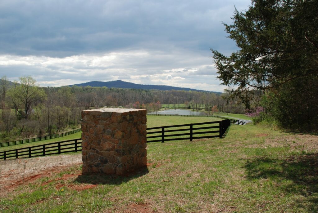
With the cemetery now delineated, the Macfarlanes continued to take steps to care for the resource and to ensure that it will always remain a visible part of the landscape. With guidance from Rainville and landscape architects, Thomas Woltz and Evan Grimm from the firm, Nelson Byrd Woltz, they installed four stone pillars to mark the limits of the cemetery, created a maintained walking path that leads from the main house to the burial ground and, most notably, erected a commemorative marker dedicated to the individuals who are buried at Mount Fair.
The commemorative marker text was created by the Macfarlanes in partnership with Dr. Rainville, Dr. Marcus Martin of the University of Virginia (UVA), and Maurie McInnis (formerly with UVA and now president of Stony Brook University). The stone marker now rests near the western edge of the cemetery at the end of the new walking trail. Affixed to the stone, a metal plaque reads:
Knowing neither their names nor their circumstances, we dedicate this monument to honor the lives of those buried here with the hope that it will serve as a reminder that many suffered unfairly during the formative years of our nation and that we must forever strive to ensure that past mistakes are neither forgotten nor rationalized; furthermore, that we carry forth with an understanding that the pursuit of an equal and fair society requires continued evaluation and improvement.
The installation of this feature later inspired John to become involved with the creation of the Memorial to Enslaved Laborers at the University of Virginia in 2017.
While the continued stewardship of the cemetery itself is a priority for John and Dudley, even more important to them is the ongoing outreach to the descendants of those once enslaved at Mount Fair.
During their tenure at the farm, the Macfarlanes have hosted African-American groups, many from the Charlottesville area—and possibly descendants of those enslaved individuals held at Mount Fair or other farms owned by the Brown family in the 19th century. Dr. Leni Sorensen, a local culinary historian, has personally led several tours of the farm, including the cemetery for enslaved families, over the years. Other visitors came from much further away to see the cemetery for themselves.
John and Dudley also continue to work with other farm owners in the area, encouraging them to put effort into recording these hidden resources as well as to commemorate similar sacred spaces on their own farms. Of the outreach, John says, “What if these were your ancestors? It really is the right thing to do.”
The 120+ individuals buried at the Mount Fair slave cemetery lived extremely difficult lives of uncertainty and turmoil. Despite being gone for over 160 years, these ancestors still have ideas to communicate and lessons to share with our lives in 2021. They have been instrumental in the forging of new, more fruitful and productive relationships among the living. For John Macfarlane, of the whole experience he simply says, “I’ve really enjoyed the journey this has taken me on.”
–Brad McDonald
Easement Stewardship Archaeologist
Note: DHR thanks John Macfarlane for providing some of the images to support this article and taking the time to speak with us about Mount Fair and the slave cemetery project on June 21, 2021. Although visits to the cemetery can be arranged by appointment, the farm will be one of the many featured properties for the Garden Club of Virginia’s Historic Garden Week in April 2022.
For more information about Mount Fair, please visit this website.
For more information about Historic Garden Week: please visit its website.
For more information about Dr. Sorensen or to participate in one of her historic dinners or classes, please visit this website.
Additional Reading:
2014 Rainville, Lynn. Hidden History: African American Cemeteries in Central Virginia. University of Virginia Press: Charlottesville, VA
Mount Fair is listed in the National Register of Historic Places (NRHP) and Virginia Landmarks Register (VLR). Read the nomination for this property.