DHR Announces an Easement Donation on 33-plus Acres of New Market Heights Battlefield
Published June 23, 2020
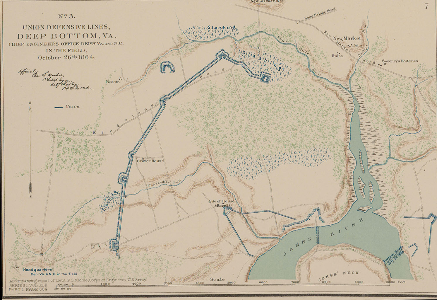
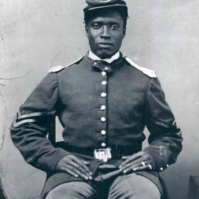
Union Defensive lines at First Deep Bottom (includes Rock Tract).||Rock Tract, Henrico Co.||Rock Tract, Henrico Co.||Rock Tract, Henrico Co.||Rock Tract, Henrico Co.||Unidentified USCT soldier. (Library of Congress)
Unidentified USCT soldier. (Library of Congress)
—The American Battlefield Trust donated the easement on Rock Tract, affiliated with the Sept. 29, 1864 Civil War battle involving United States Colored Troops —
The American Battlefield Trust has conveyed to the Commonwealth of Virginia a preservation easement that protects 33.814 acres of land in Henrico County affiliated with the 1864 Civil War battle of New Market Heights (Chaffin’s Farm) and the actions of United States Colored Troops, the official name given to the Army’s African American soldiers.
The specific acreage now under easement, known as the Rock Tract, is significant for its association with African American military heritage and the contributions made by the USCT during the Civil War. Authorized by the U.S. government in 1862, the formation of the USCT played an important role in the victory of the Union Army at the end of the Civil War. In 1865, the U.S. government recognized the sacrifices of the USCT at New Market Heights by awarding Medals of Honor to 14 black soldiers for their individual acts of heroism during the battle.
The American Battlefield Trust (ABT) conveyed the easement on the Rock Tract—which includes an intact 1864 military fortification and sunken road trace—to the Virginia Board of Historic Resources, the entity authorized to hold preservation easements on behalf of the Commonwealth. Staff of the Department of Historic Resources (DHR) administer and manage easements donated to the board.
“Recognizing the tremendous historic and archaeological significance of this property, DHR partnered with the American Battlefield Trust, the Board, and the American Battlefield Protection Program to protect the land in perpetuity,” said DHR director Julie V. Langan. “Importantly, this easement preserves a crucial portion of the New Market Heights battlefield—particularly meaningful for its association with the actions of the United States Colored Troops during the Civil War.”
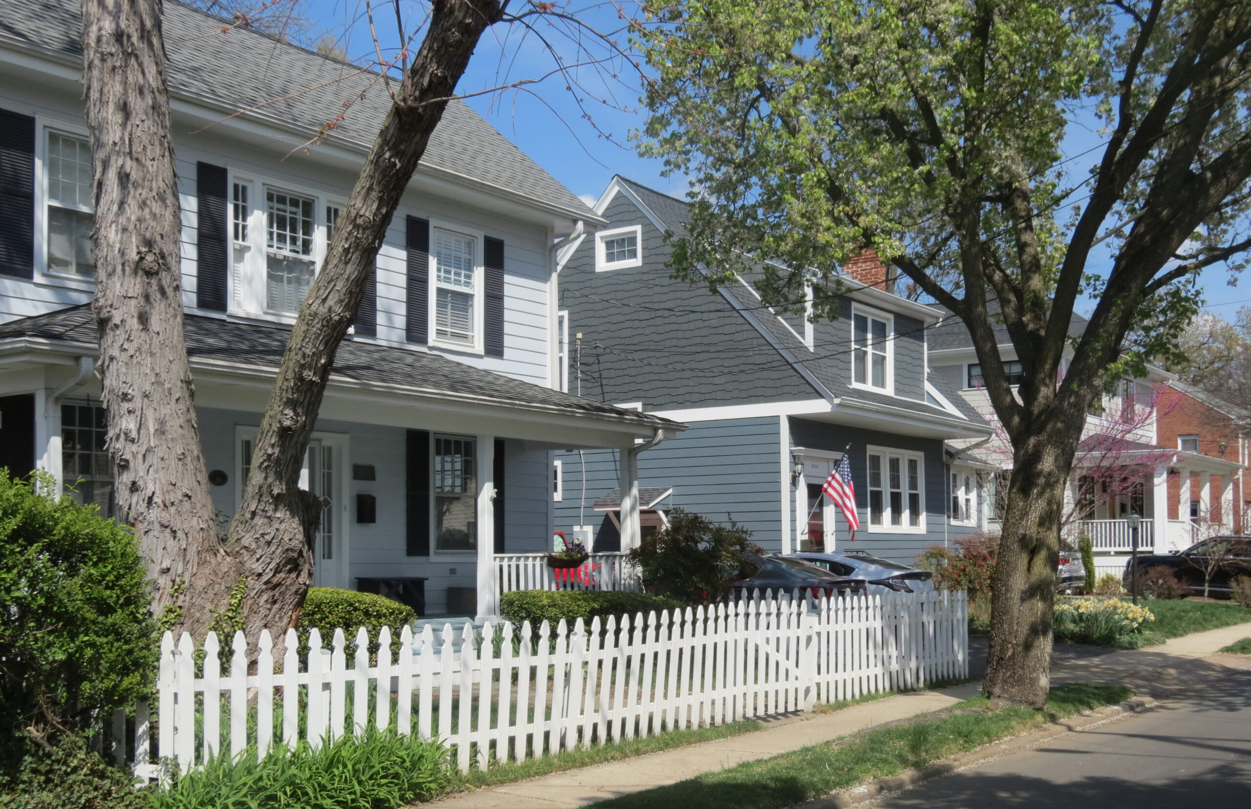
Photo credit: David Edwards, 2023
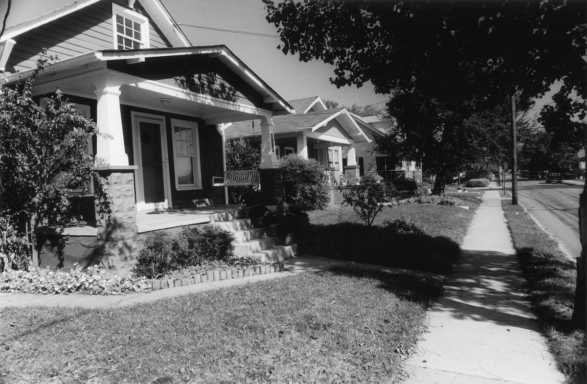
Photo credit: DHR, ca 1996
The Battle of New Market Heights resulted from Union General Ulysses S. Grant’s campaign to capture the Confederate capital of Richmond. On September 29, 1864, Grant ordered Major General Benjamin F. Butler to move his Army north across the James River toward New Market Heights in an attempt to penetrate the Confederate line. The X Corps and 3rd Division of the XVIII Corps would form the right wing of the assault and approach the Confederate line just south of New Market Road.
Union Brig. Gen. Charles J. Paine’s soldiers, consisting of brigades (3rd Division, XVIII Corps) of the USCT, spearheaded the attack. They gathered near the southern portion of the Rock Tract property along Kingsland Road and advanced northward toward Four Mile Creek. To reach the hilltop Confederate earthworks, USCT soldiers had to cross a rising plain with open fields, a marshy swamp along the bed of Four Mile Creek, and a thickly wooded ravine. Heavy Confederate artillery assaulted the USCT brigades as they continued their advance and eventual capture of the hilltop.
Photo credit: David Edwards, 2023
Photo credit: DHR, ca 1996
The Rock Tract is also entirely within the core area of the 1864 Deep Bottom I and Deep Bottom II Battlefields, while a portion is within the Fair Oaks and Darbytown Road (1864) Battlefield, as determined by the Civil War Sites Advisory Commission.
The property’s topography rolls and inclines toward an unnamed branch of Four Mile Creek, which forms the north-northeast boundary. Dense woods primarily composed of deciduous hardwood trees interspersed with holly trees and dense brushy undergrowth covers much of the property.
The ABT acquired the property in 2018 with grants from the American Battlefield Protection Program and Virginia Battlefield Preservation Fund. Conveyance of a perpetual historic preservation easement is a requirement of the grants.
The Board of Historic Resources holds easements on over 41,000 acres of land throughout the Commonwealth, encompassing a range of historic resources—vernacular and high-style structures, mills, factories, cemeteries, schools, farms, landscapes, prehistoric and historic archaeological sites, and battlefields. The Rock Tract easement was recorded June 11 in the Henrico County Circuit Court Clerk’s Office. The easement augments more than 780 acres of land in Henrico County already protected by preservation easements held by the Board.
DHR BLOGS
Heirloom Home: The Paige-Pollard House in King William County
Grave Matters: The African American Cemetery & Graves Fund
Update: 2024 General Assembly Session
Meet the New Division of Resource Information & Registers
Virginia Landmarks: A Showcase of Successful Historic Preservation Projects
Shenvalee Golf Resort Brings Golfers and Families to Shenandoah County for Almost a Century