You may have read our recent post about scanning artifacts to document their condition and provide access to these objects for researchers, educators, and the public. DHR has employed a variety of techniques over the past several months to document larger objects as well, including a series of shipwrecks in Suffolk and the Robert E. Lee Monument in Richmond.
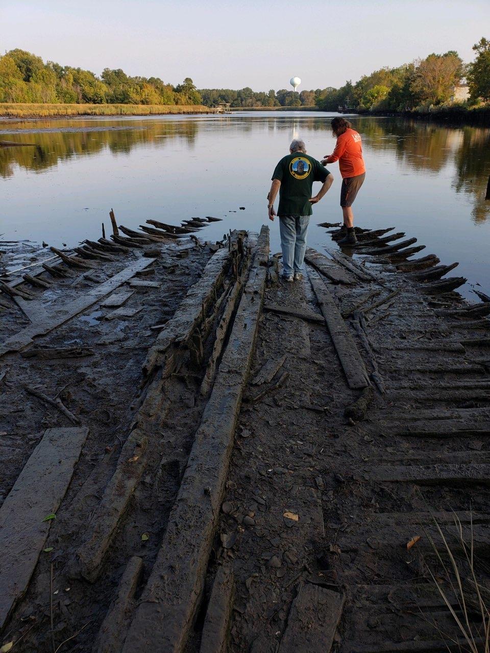
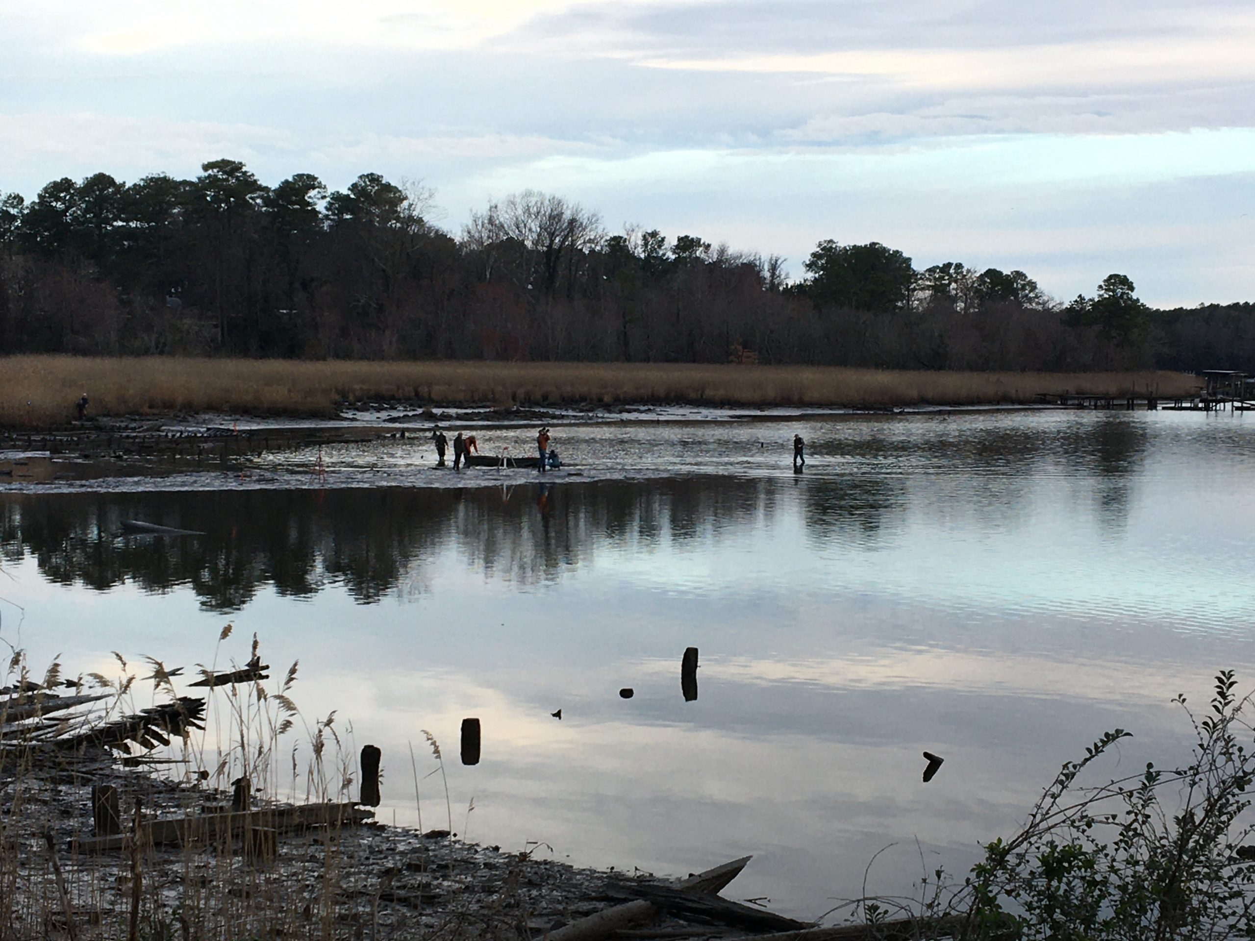
Our first foray into 3-D imaging of larger objects was conducted in Suffolk in the Fall of 2019. Supported by DHR’s Threatened Sites fund, archaeologists from the Longwood University Institute of Archaeology (IoA) and the St. Augustine Lighthouse Archaeological Maritime Program (LAMP) surveyed and documented 13 vessels submerged in the Nansemond River.
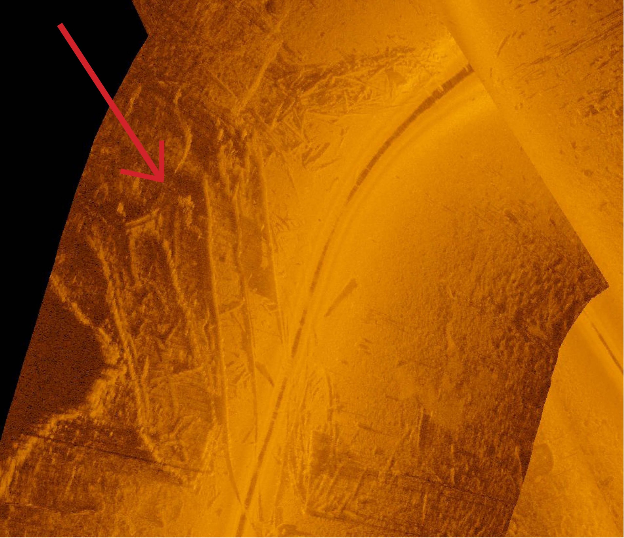
The LAMP team first used side-imaging sonar to examine areas covered by water. Side-scan sonar uses a sonar device that emits fan-shaped pulses of sound as it is moved through the water. In our case, the equipment was in a small motor-powered boat that moved in a grid over the water’s surface. As sounding pulses echo back from the water’s bottom or bed, they are recorded and stitched together to create three-dimensional images of whatever is present below the surface. On the day I joined the team, we could see boats, downed trees, schools of fish, and a great deal of trash that had been tossed in the river.
The second technique used in recording these wrecks was a laser scanner. It created detailed 3-D images of the wrecks at low tide when parts of them were visible above water. A laser scanner emits a rapidly pulsing laser beam that sweeps over an area. When the beam hits an object, it bounces back to the scanner, which records the bounce as a data point. As the beam combs the area, the recorded data is calculated in three dimensions: vertical, horizontal, and distance (as x, y, and z coordinates). A scan results in a compilation of thousands of data points that render a 3-D image. Color photos taken simultaneously provide realistic color and texture to the scan. You will be able to read more about this project in an upcoming publication in DHR’s archaeological Research Report Series. We anticipate that a PDF of The Nansemond Ghost Fleet, Archaeological Research Report No. 24 will be available online in August 2020
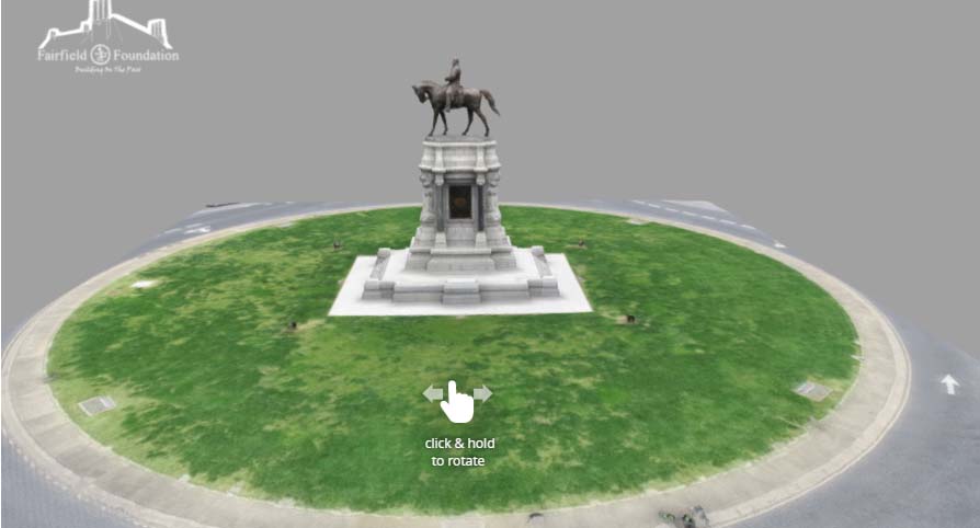
More recently, DHR has used volunteer assistance to create 3-D laser scans of the Robert E. Lee Monument in Richmond. Our goal is to document the monument in as much detail as possible. Documenting historic resources is an essential part of DHR’s mission. The scanning process began with setting a series of “targets” around the perimeter of the grass circle that the scanner used as reference points. The laser scanner was set up in four different locations around the monument and scans were taken at each location. The data points gathered in each of those scans will create an extremely detailed 3-D image of the monument.
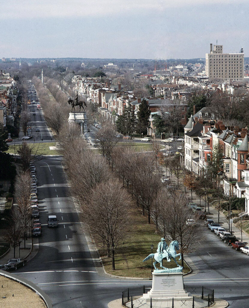
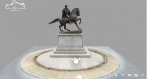
In recent months, many others have taken photographs of the monuments, some more detailed than others. One technique uses many photographs to create a 3-D image, a process called photogrammetry. Ms. Ashley McCuistion of the Fairfield Foundation collaborated with the Virtual Curation Laboratory at VCU to render a series of photogrammetric images of several of the monuments on Monument Avenue in Richmond. These 3-D images are available online and can be viewed, rotated, and even printed if you have access to a 3-D printer. While photogrammetric images do not have the resolution that can be obtained with laser scanning, they have the advantage of being much smaller files that can be viewed on most devices, including cell phones. Laser scan images are very large and require much more computing power to view them.
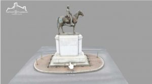
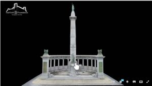
You can find the photogrammetric images of some of Richmond’s monuments by clicking on these photos:
Arthur Ashe Monument.
R. E. Lee Monument.
R. E. Monument with graffiti.
Stonewall Jackson Monument.
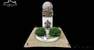
Matthew Fontaine Maury Monument.
Jefferson David Monument.
J.E.B. Stuart Monument.
–Dr. Elizabeth Moore, State Archaeologist