Application open! Submit your proposal via WebGrants by September 18, 2026
PURPOSE
DHR has been awarded $2,000,000 in grant funds from the National Park Service’s (NPS) Emergency Supplemental Historic Preservation Fund (ESHPF). The funds will be used to support the documentation of historic resources in 37 localities across central, southside, and southwestern Virginia named in FEMA Major Disaster Declaration DR-4831, the declaration for Hurricane Helene in Virginia.
The purpose of this program is to document the historic architectural and archaeological resources in the impacted areas. Funds will be awarded to community-driven efforts to survey these resources, local or regional preservation and disaster planning efforts, and at least one nomination to the National Register of Historic Places. DHR will request project proposals later this year.
DHR will select and administer ESHPF projects under the supervision of the NPS with adherence to the HPF Grants Manual. All projects selected by DHR must be approved by the NPS before any work can begin.
PROGRAM INFORMATION
Eligible Applicants
Any local government, tribal government, planning district commission, or nonprofit organization in the counties and cities in Virginia identified in FEMA Major Disaster Declaration DR-4831 (see list below) is eligible to apply.
Eligible entities may collaborate to apply and may submit joint applications that incorporate the participation of state agencies other than DHR, or that involve more than one local government. One principal local contact must be designated for each application submitted.
Eligible Localities
- Albemarle County
- Appomattox County
- Bedford County
- Bland County
- Botetourt County
- City of Bristol
- Buchanan County
- Buckingham County
- Carroll County
- Charlotte County
- City of Covington
- Craig County
- City of Danville
- Dickenson County
- City of Galax
- Floyd County
- Giles County
- Grayson County
- Greene County
- Lee County
- Madison County
- Montgomery County
- Nelson County
- City of Norton
- Patrick County
- Pittsylvania County
- Pulaski County
- City of Radford
- City of Roanoke
- Roanoke County
- Russell County
- Scott County
- Smyth County
- Tazewell County
- Washington County
- Wise County
- Wythe County
Applicant Contribution
Selected projects will be fully funded by the ESHPF Helene Grant Program. The applicant will assume responsibility for notifying residents and property owners about the project and arranging any necessary community meetings for the project.
Project Management
DHR will assume responsibility for procurement and contract administration and will ensure that project documentation is completed to state or federal requirements. DHR will be responsible for procuring the services of qualified professionals who meet the standards for professional qualifications as specified by the U.S. Secretary of the Interior (The Secretary of the Interior’s Professional Qualification Standards).
What types of projects will the ESHPF Helene Grant Program fund?
Eligible projects encompass survey and planning activities and the protection of historic resources through identification, documentation, evaluation, National Register of Historic Places nominations or nomination updates, and preservation planning activities consistent with the responsible stewardship of historic resources.
The below list is not comprehensive. Please contact DHR staff to discuss other possible project types.
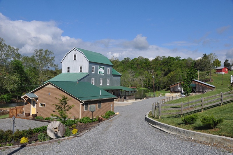
Comprehensive Survey of a County or Municipality
A study of historic properties that range in function and age. Researchers will review existing survey records and local history to identify properties to survey and when they’ve completed their fieldwork, they’ll write a report that includes recommendation for further study and potential National Register nominations.
A comprehensive survey of Wythe County studied 376 resources, noting common themes and identifying potential historic districts.
Selective Survey across a County or Region
A study of a broad area focusing on a particular priority, such as historic function, style, or threat type.
A selective survey of Franklin County focused on resources underrepresented in the county’s survey data and those at elevated risk of flood and storm damage.
A selective survey of the Northern Neck studied historic resources in or close to FEMA Flood Hazard Areas in Lancaster, Westmoreland, and Northumberland Counties.
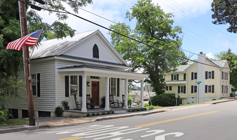
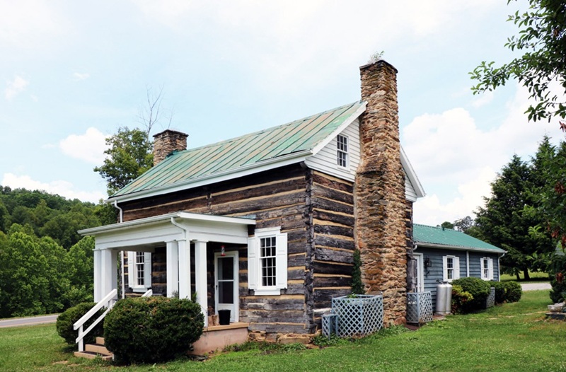
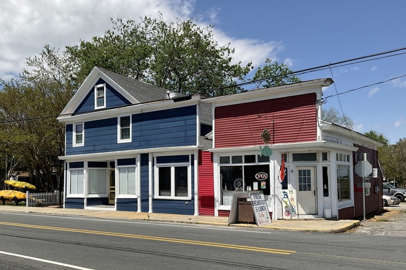
Survey and nomination of a historic district
Researchers identify and study historic resources within a particular geographic area that convey a particular theme from history. Then, a report on the local history and the included resources is used to nominate the district to the National Register of Historic Places. Historic districts can cover vast rural landscapes, a handful of related buildings (a church with fellowship hall, rectory, and school), or the historic core of a town or neighborhood.
Before a district can be nominated, it must be determined eligible by DHR staff. You can learn more about the National Register and nomination process here.
Preservation Planning
Preservation planning prepares history for the future. Planning documents include preservation plans for communities, management plans for one or more historic buildings, and plans that combine preservation and disaster preparedness.
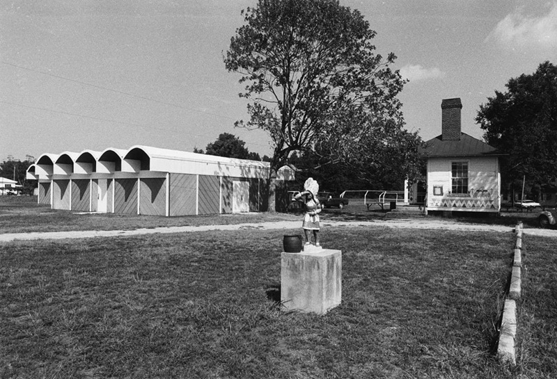
Earlier ESHPF funds were used to conduct an intensive survey of four buildings on the Pamunkey Indian Reservation and produce a management plan for them. That plan is now guiding rehabilitation efforts to the schoolhouse, pottery school, and cultural center on the reservation.
Non-Invasive Archaeology
While funds from ESHPF Helene Grant Program cannot be used for projects that involve ground disturbance, they can be used for archaeological research from the surface, such as using ground penetrating radar.
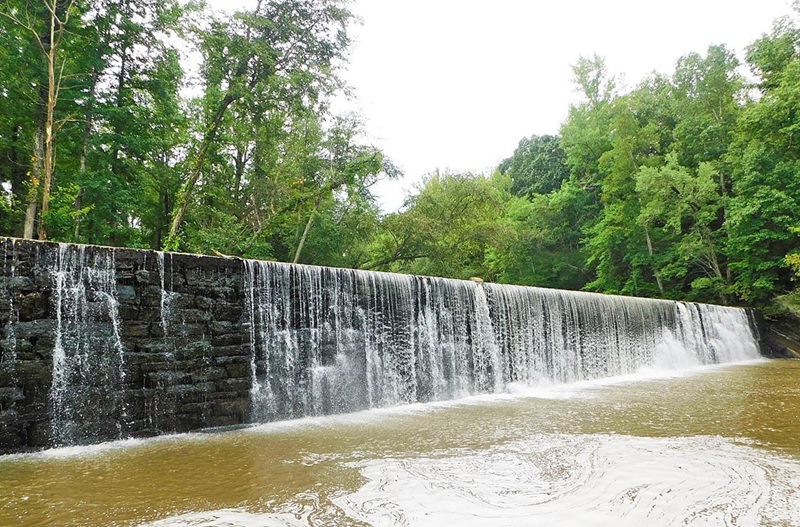
Previous ESHPF Grant Programs have funded several river surveys, which use observation of shorelines and river bottoms as well as LiDAR to identify and document historic and archaeological sites that are fully or partially submerged by Virginia’s waterways. You can read about a recent survey and subsequent National Register nomination of a section of the Banister River in the Gasette-Virginian.
Ineligible project types include:
- Development (construction) projects, such as rehabilitation or restoration of historic resources
- Archaeology involving any ground disturbance
- Museum exhibit planning, fabrication. and/or installation
- Interpretive and/or master planning for a museum or historic site
Application Process
The Virginia Department of Historic Resources uses a grant management software system called WebGrants for all its grant programs. You will need to register with WebGrants to apply for this grant opportunity. To do so, click this link.
Review and Selection Process:
DHR will evaluate applications based on the review questions outlined below. The following questions will be scored on a 5-point scale:
- Does the application clearly and adequately describe the proposed work and desired outcomes?
- Does the proposed project advance Virginia’s Survey Priorities as outlined in the Guidelines?
- Does the application define the project objective and explain the public/community benefit of the proposed work?
- Does the application describe the disaster impact on the project area and provide sufficient evidence?
- Does the applicant describe other threats to the project area (e.g. other environmental or development pressures)?
- Has the relationship of the project to other preservation efforts been identified, including local, regional, or statewide preservation planning initiatives? Does the application demonstrate the project’s potential to inform future preservation planning efforts?
- Does the application demonstrate local government support?
- Does the application provide an adequate plan for public participation, as appropriate for the project type?
- Does the application demonstrate understanding of program goals and processes?
•••
The final Request for Assistance for the Emergency Supplemental Historic Preservation Fund (ESHPF) Grant Program for historic properties, areas, and sites damaged by hurricanes Florence and/or Michael has closed. Organizations that submitted a successful proposal have been notified via our WebGrants portal and can find next steps there.
Further information about how to respond when your historic site or community faces disaster can be found on our Disaster Planning & Recovery webpage.