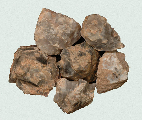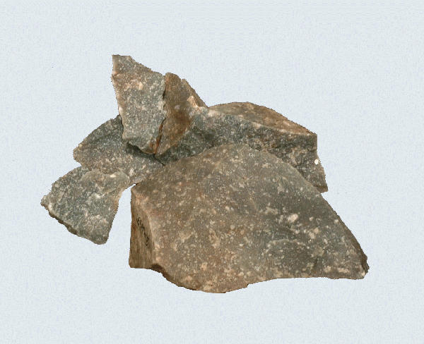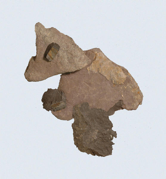
Hornfels, 44FX1788, Fairfax County, Virginia.
Type General
Collection Location:
Hornfels, which is a thermally metamorphosed shale or sandstone, outcrops in the Culpeper (Triassic) Basin of the Interior Piedmont of Northern Virginia and Maryland.
Description
Hornfels was formed when magma (now database) cut through the older shale and sandstone and ‘cooked’ (melted) the adjacent shale and sandstone. Hornfels is relatively low in silica. It is brittle and produces sharp and jagged edges. It weathers so thoroughly that it can be difficult to identify in the field. It weathers to at least three different appearances. One is an eroded surface of the same texture and color as the original. Another weathers with a thick, buff colored patina that looks like a totally different stone type. The third is rare. It has the dark color of the original stone, but probably because of trapped ‘soft’ inclusions in the original stone, weathers to a severely pitted surface. The pits are about one millimeter in diameter.
Distribution
Hornfels do not appear to travel much out of the Culpeper Basin. Johnson noted it as far west as the Shenandoah Valley and as far east as sites in the inner Coastal Plain of the Potomac estuary. He has seen it as far south as Madison and Culpeper counties in Virginia and as far north as Montgomery County, Maryland.
Cultural Implications
Hornfels have been excavated from the Palmer levels at the Thunderbird Site in Warren County. A hornfels bifurcated point was excavated from western Fairfax County. Bare Island, Holmes, Orient Fishtail-like, Piscataway/Rossville, large and medium triangular, and various unidentified notched points were made from hornfels. The most common point type in hornfels is the Savannah River variants, Bare Island and Holmes types. Edge wear analysis on tools is virtually impossible.
References
Prepared By Michael F. Johnson 2000