Virginia Department of Historic Resources
(dhr.virginia.gov)
For Immediate Release
Contact:
Ivy Tan
Department of Historic Resources
Marketing & Communications Manager
ivy.tan@dhr.virginia.gov
804-482-6445
—Markers cover topics in the counties of Mathews, Fauquier, Lee, Clarke, and Surry; in the cities of Richmond, Danville, and Norfolk; and in the Wise County town of Big Stone Gap—
—Text of each marker reproduced below—
PLEASE NOTE: DHR creates markers not to “honor” their subjects but rather to educate and inform the public about a person, place, or event of regional, state, or national importance. In this regard, erected markers are not memorials.
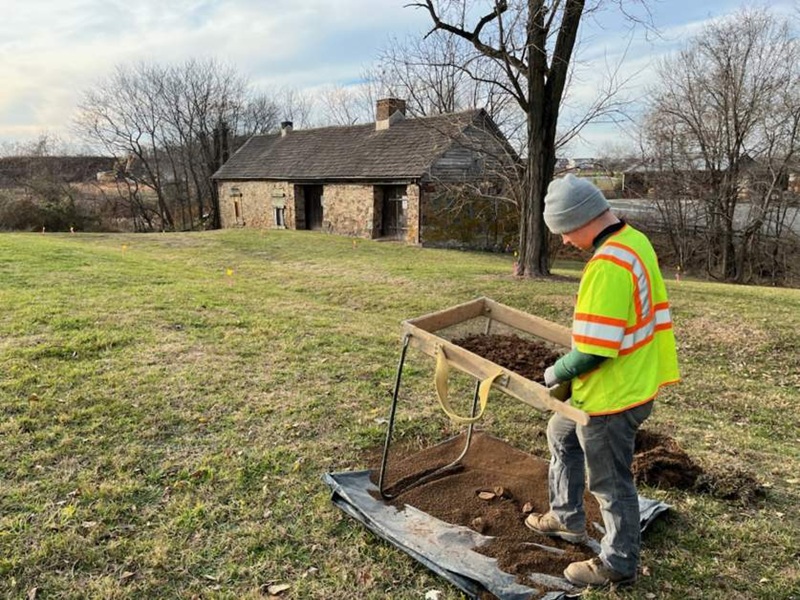
RICHMOND – The Department of Historic Resources (DHR) has announced nine new historical markers coming to roadsides in Virginia. The markers will feature various topics in the commonwealth’s history, including the Kiskiak Indians’ new homeland in the Middle Peninsula; the story of a formerly enslaved man who contributed to the victory of Union forces in the Civil War; and the former Virginia home of U.S. President Jimmy Carter and his wife Rosalynn.
The Virginia Board of Historic Resources approved the markers on December 11, 2025, during its quarterly meeting in Richmond hosted by DHR.
When English settlers first arrived in Virginia in the 17th century, the Kiskiak Indians, who were at the time part of the Powhatan paramount chiefdom, originally lived on the south side of the York River. In the 1630s, the Kiskiak withdrew to the Middle Peninsula after the English encroached on their ancestral homeland. They were living on the south side of the Piankatank River when the colonial government allotted them 5,000 acres in 1649. The assigned land, located in modern-day Mathews County, extended from Chapel Creek to Harper Creek and included two of their towns. Leaders of the Kiskiak gradually sold off more than half of the land. In 1669, Virginia’s Indian census recorded 15 Kiskiak warriors. After 1677, the Kiskiak seemingly dispersed, with some possibly joining nearby tribes.
The leadership of military officer Anthony Wayne in the American Revolutionary War grounds one new marker:
Two recently approved markers highlight the Civil War Battle of Wyerman’s Mill and Thomas Laws, a formerly enslaved Black man whose courage during the war helped Union forces secure victory in the Third Battle of Winchester in 1864:
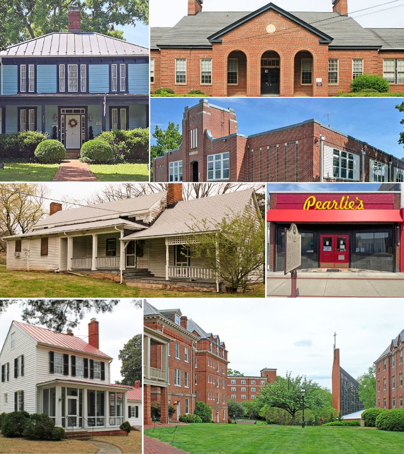
The Board also approved five markers focused on the histories of storied buildings in the Commonwealth:
Following the Board of Historic Resources’ approval of the markers, it can take upwards of six months or more before a new marker is ready for installation. The marker’s sponsor covers the required $3,000 manufacturing expenses for a new sign.
Virginia’s historical highway marker program began in 1927 with installation of the first markers along U.S. Route 1. It is considered the oldest such program in the nation. Currently there are more than 2,600 state markers, mostly maintained by the Virginia Department of Transportation, except in those localities outside of VDOT’s authority.
Full Text of Markers:
(VDOT must approve the proposed location for each marker in its right-of-way; local public works departments must do so in jurisdictions outside VDOT’s authority.)
The Kiskiak Indians’ New Homeland
The Kiskiak Indians, once part of the Powhatan paramount chiefdom, lived on the south side of the York River when European colonists arrived. During the 1630s, as English settlement encroached on their ancestral homeland, the Kiskiak withdrew to the Middle Peninsula. In 1649, they were living on the south side of the Piankatank River when the colonial government allotted them 5,000 acres, which extended from Chapel Creek to Harper Creek and included their two towns. The Kiskiak Indians’ leaders gradually sold off more than half of their land. In 1669, Virginia’s Indian census recorded 15 Kiskiak warriors. After 1677, the Kiskiak seemingly dispersed, perhaps joining nearby tribes.
Sponsor: DHR
Locality: Mathews County
Proposed Location: East side of Route 3, near the foot of Twigg Bridge
Gen. Anthony Wayne’s Rappahannock Crossing
Brig. Gen. Anthony Wayne, commanding 1,000 infantrymen of the Pennsylvania Line and a Continental artillery unit, moved south from Pennsylvania late in the spring of 1781 to reinforce the Marquis de Lafayette in Virginia. On 8 June, Wayne’s troops crossed the Rappahannock River at Norman’s Ford, one mile southwest of here, and entered Culpeper County. They joined Lafayette south of Raccoon Ford in Orange County on 10 June. The combined force numbering about 4,000 men moved toward Charlottesville to deter British Lt. Gen. Charles Cornwallis’s raids on military stores. The troops then followed Cornwallis as his army marched eastward and greatly contributed to his surrender at Yorktown on 19 Oct.
Sponsor: Culpeper Minutemen Chapter Virginia Society Sons of the American Revolution
Locality: Fauquier County
Proposed Location: Intersection of Sumerduck Road and Normans Ford Road
Battle of Wyerman’s Mill
Confederate Brig. Gen. William E. “Grumble” Jones entered Lee Co. on 1 Jan. 1864 in the hope of retaking the Cumberland Gap, which Union forces had been using as a base for raids into the county’s fertile valley since Sept. 1863. After a victory at the Battle of Jonesville on 3 Jan., Jones’s cavalrymen patrolled in search of Union troops and a pathway to the gap. Learning of an encampment near Wyerman’s Mill on Indian Creek, 0.3 miles south of here, Jones surrounded elements of the 91st IN, 2nd NC, and 11th TN regiments and attacked at dawn on 22 Feb. 1864, killing 13 and taking more than 250 prisoners. The Confederates maintained control over Lee Co. thereafter but were unable to retake the gap.
Sponsor: Terry Hubbard
Locality: Lee County
Proposed Location: Adjacent to 242 Neighborhood Lane, Ewing
Thomas Laws (1817-1896)
Thomas Laws was born enslaved in present-day Clarke Co. In Sept. 1864, Union Maj. Gen. Philip H. Sheridan learned that Laws had a pass to cross Confederate lines into Winchester. At Sheridan’s request, Laws risked his life to deliver a note—wrapped in tin foil and held in his mouth—to Unionist Rebecca Wright, a Quaker schoolteacher in the city. Based on intelligence about the weakness of Confederate forces that Wright sent back with Laws, Sheridan attacked on 19 Sept. His victory in the Third Battle of Winchester secured Union control of the strategically vital lower Shenandoah Valley and brought momentum to Pres. Abraham Lincoln’s reelection effort. Laws farmed in Clarke Co. after the war.
Sponsor: Josephine School Museum
Locality: Clarke County
Proposed Location: Intersection of US 340 and Route 255
Cypress Baptist Church
Cypress Baptist Church, one of the oldest African American churches in Surry County, traces its origin to the autumn of 1866. Irene George, who had been free before the Civil War, organized the congregation at the home of Easter Eley in Isle of Wight County. The church moved here in 1867 and formally purchased the property in 1874. The Rev. Baylor (Bailey) Wyatt, who had escaped from slavery to Union lines during the Civil War, was the church’s first pastor and a strong advocate for the region’s freedpeople during Reconstruction. The church later joined the Lebanon Virginia Baptist Association, a regional organization established in the 1880s.
Sponsor: Cypress Baptist Church
Locality: Surry County
Proposed Location: Runnymede Road at intersection with Walkers Road
Maymont
Maymont, one of the South’s few intact Gilded Age estates, was the home of railroad magnate James H. Dooley (1841-1922) and his wife, Sallie May Dooley (1846-1925). The Richardsonian Romanesque-style mansion, designed by Edgerton Rogers and completed in 1893, was furnished with fine and decorative art. Reflecting the eclecticism of the era, the 100-acre property featured English-style parkland, Italian and Japanese gardens, and service buildings designed by Noland and Baskervill. A staff of 30, primarily African Americans, cared for the estate. The Dooleys bequeathed Maymont to the City of Richmond after their deaths for use as a museum and park, operated since 1975 by the Maymont Foundation.
Sponsor: Maymont Foundation
Locality: City of Richmond
Proposed Location: Shirley Lane at intersection with Spottswood Road
Hippodrome Theatre and the TOBA Circuit
The Hippodrome, Danville’s first purpose-built theatre for Black audiences, opened here in 1917. Owned by William A. Don Levy, it offered live entertainment and motion pictures. By 1922 the Hippodrome had joined the Theatre Owners’ Booking Association (TOBA), a circuit under interracial management that supplied vaudeville shows to venues serving African Americans. TOBA developed the careers of Black artists and booked them across the eastern half of the U.S., playing a foundational role in the entertainment industry. National stars such as blues pioneer Mamie Smith and Gonzell White’s Jazzers performed at the Hippodrome. Renamed the Lincoln Theatre in 1931, it closed in 1935 and burned in 1962.
Sponsor: Danville Research Center for African American History and Culture
Locality: City of Danville
Proposed Location: 215 N. Union Street
Home of Jimmy Carter, 1946-1948
After graduating from the U.S. Naval Academy in June 1946, Ensign Jimmy Carter married Rosalynn Smith and was stationed in Norfolk, where the couple resided in a one-bedroom apartment about 200 yards east of here. Carter, future governor of Georgia and 39th president of the United States, developed leadership skills while serving aboard two ships during this tour. As president he negotiated the Camp David Accords, established the Departments of Energy and Education, expanded the National Park System, and normalized relations with China. He and Rosalynn later established the Carter Center to promote peace, democracy, human rights, and health. He was awarded the Nobel Peace Prize in 2002.
Sponsor: Larchmont-Edgewater Civic League
Locality: City of Norfolk
Proposed Location: Corner of Westmoreland Avenue and Monroe Place
James A. Bland High School
James A. Bland High School, named for the noted African American composer, opened here in 1954 and served Black students from Wise and Lee Counties. It was built as localities across VA improved Black schools following federal court decisions requiring equalization. The school became a source of community cohesion and pride. Cato Hadras Shorter, steadfastly supported by his wife, Mary B. McClellan, was the sole principal. A dedicated faculty fostered excellence in academics, arts, and athletics. Bland High School closed in 1965 when Wise Co. desegregated its schools after the Civil Rights Act of 1964. The building became an elementary school in 1969 and Big Stone Gap’s town hall in 1988.
Sponsor: Cato H. Shorter Family and the ATCB Alumni Association
Locality: Town of Big Stone Gap
Proposed Location: 505 E. Fifth Street
###