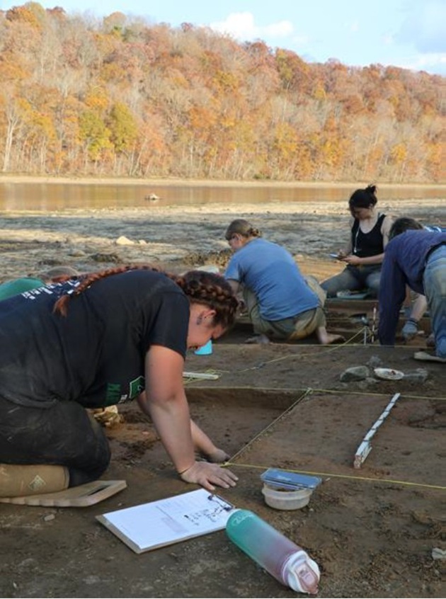
Every year, DHR provides grant funding for archaeological sites endangered by erosion, impending developments, or vandalism. These sites range in age from thousands of years old to the early 20th century. For fiscal year 2027, the Threatened Sites program is funding four projects from across the commonwealth.
By Dr. Elizabeth Moore | DHR State Archaeologist
DHR’s Threatened Sites Program provides financial support for the mitigation of damage to important archaeological sites and collections from Virginia sites. Each year, hundreds of sites are damaged by construction, erosion, flooding, and looting. Each year, more data associated with archaeological collections are lost when they are not stored and managed in a way that retains important information. Projects funded this year represent a range of project types including site documentation, collections rehabilitation, and collections-based research on materials recovered from a site excavated with Threatened Sites’s support in previous years. Over the past five years, DHR has funded more than 30 projects, including our first award to a Tribal nation, the Pamunkey Indian Tribe, for the excavation of a site on the Pamunkey Indian Reservation.
Each year, archaeological professionals submit proposals to DHR for funding from the Threatened Sites Program. A committee consisting of DHR archaeology staff and representatives from ASV and COVA reviews, scores, ranks all proposals, and selects those to be funded. Threatened Sites grants tend to be small; professional archaeologists often donate their time to these projects, using the grant funding to hire students or purchase supplies and equipment. These projects also often draw heavily on volunteer support, often from the communities where sites are located.
Here are the projects selected for funding in FY 2027:
Digital Preservation of Above-Ground Resources of the Marshall Tunnel Canal District (110-01444)
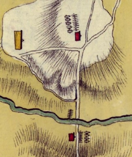
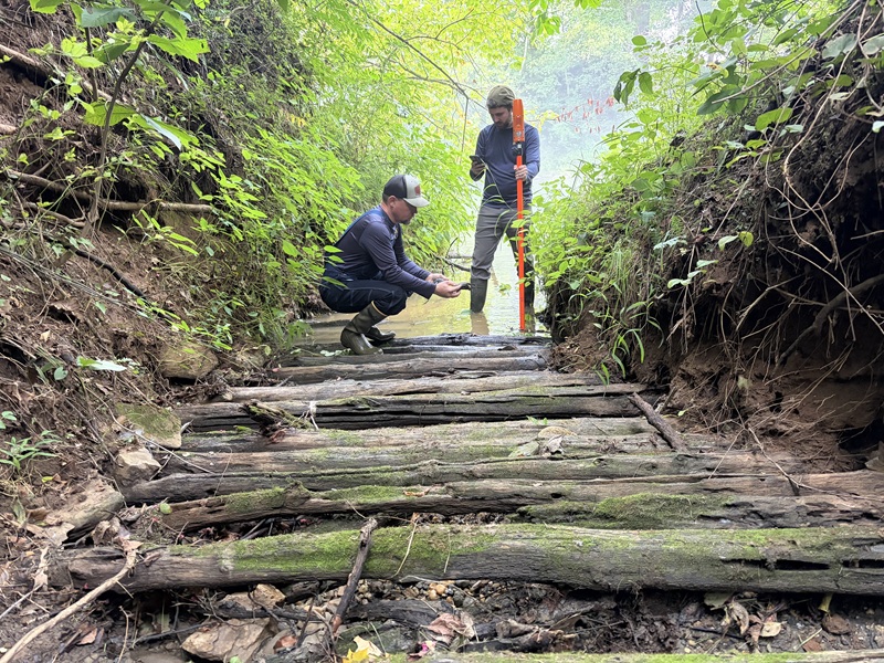
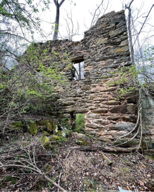
This grant will fund the completion of the digital documentation of the Marshall Tunnel Canal District in Botetourt County, Virginia. Previous fieldwork at this site focused on the subterranean cultural features. This phase will document a series of canal locks and industrial features visible above ground. The Marshall Tunnel Canal District contains 13 features associated with an attempt to create a 1,900-ft tunnel through a mountain spur known as Timber Ridge. Funding for construction ran out in 1856 and left the site in its present unfinished state. Features within the district include an aqueduct, canal locks, retaining walls, spoil piles, construction roadways, a horse gin, and an unlocated labor camp occupied by more than 90 individuals for three years. The site is exemplary of 19th-century canal technology and is singular in nature due to the unfinished state of the works. As part of the project, small trees and brush will be cleared from the features with the assistance of volunteers from the Virginia Canal and Navigational Society. The documentation will include a combination of terrestrial laser scanning and photogrammetry, producing 3D models of the features that can be shared with the public as well as used to create other deliverables including orthomoasic images and fly-through videos. Originally funded last year, the project was delayed by winter weather and will be completed this year.
Radiocarbon Reservoir Correction, Sclerochronology, and Chronological Evaluation for Site 44KQ0176, the Poropotank Island Site, King & Queen County, Virginia
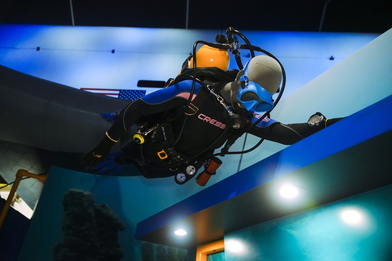
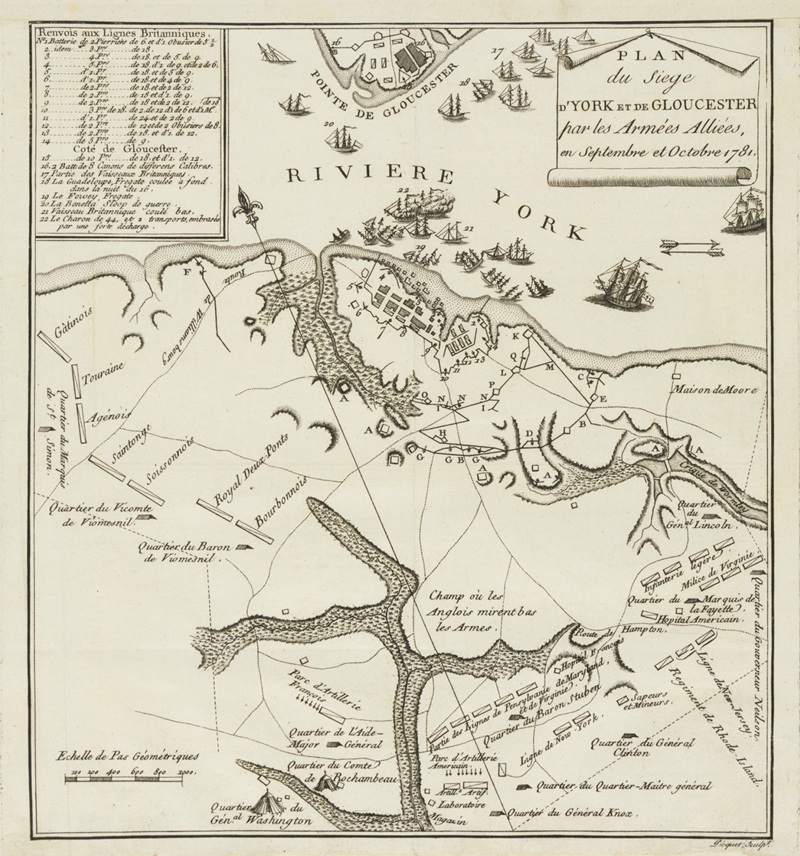
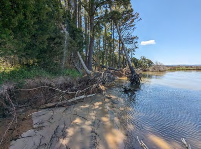
Site 44KQ0176 is a Middle Woodland period (ca. A.D. 200–700) shell midden and domestic site located on an island in the Poropotank River, King & Queen County, Virginia, situated north of Gloucester County and upriver from Werowocomoco (44GL0032). Two successive Threatened Sites Fund grants (2023, 2024) supported excavation of six 1m × 2m test units with paired 30 cm² subsistence columns and the collection of six AMS radiocarbon dates, producing substantial assemblages of oyster shell, ceramics, and vertebrate faunal material. The proposed work relies entirely on previously recovered curated materials, requires no additional ground disturbance, and represents the final stage of scientific return on three years of previous Threatened Sites Fund investment. The proposed analyses address two integrated research goals: (1) development of a preliminary York River marine radiocarbon reservoir correction estimate and chronological evaluation of shell deposition; and (2) determination of oyster harvest season and seasonal patterns of site use through stable oxygen isotope sclerochronology. Shells are abundant in Chesapeake Bay archaeological sites, providing an important source of dating material; however, their use in radiocarbon chronologies requires a local marine reservoir correction (ΔR)- an estimate of how much the local marine radiocarbon reservoir deviates from the global ocean average. Without such a correction, marine shell dates will appear systematically older than contemporaneous dates on terrestrial materials from the same deposit, potentially introducing chronological errors of a century or more. The data acquired through this grant-supported work will provide York River corrections, allowing this and future research to have more accurate dating. This work has the support of the William & Mary Indigenous Advisory Board, comprising representatives from nine Virginia tribes. The IAB has provided guidance on research design, interpretive framing, and community engagement.
Documentation of Kiln Remains and Archival Research at Ricketts Pottery (44RM0598), Rockingham County
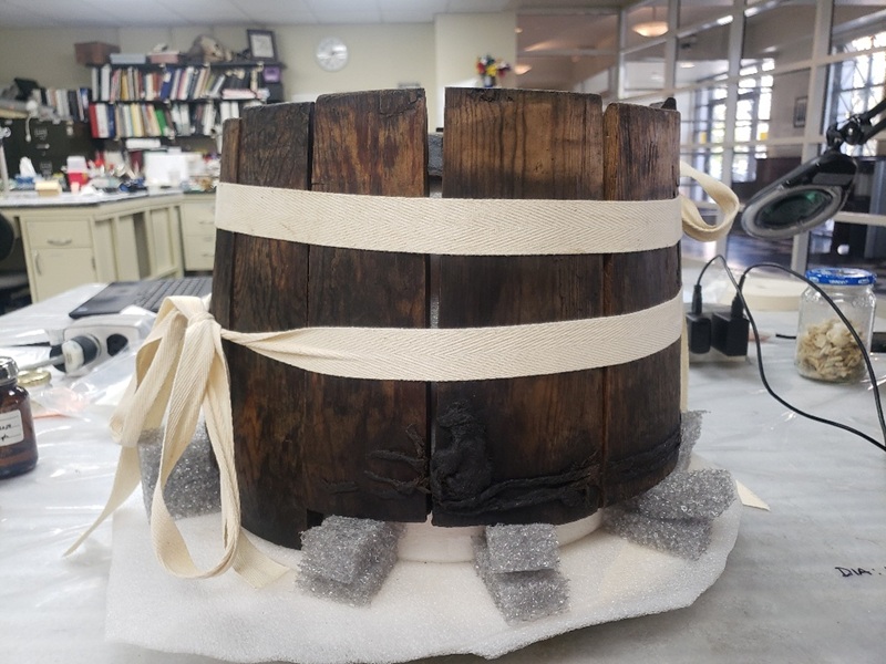
The site identified as the Ricketts Pottery (44RM0598) was discovered by three avocational historians/archaeologists in 2021. The site includes a remnant of a pottery kiln and sparse, remnant deposits of wasters and kiln furniture. Very few archaeological examples of pottery kilns are known from the Shenandoah Valley, despite the former presence of many potteries. The deposits on the interior of the kiln were removed by the avocationalists, and the wall remnants of the kiln are rapidly bowing to ground pressure. The site is threatened by two vectors of disturbance: 1) erosion of deposits during flood episodes on Quail Run; 2) wind and rain erosion and ground pressure displacement of kiln features exposed by avocational investigations. The kiln remains at the Ricketts Pottery have not been previously recorded with measured drawings and photographs, and its form has not been interpreted. The remaining data potential – details on the form and function of the kiln – will be lost if recordation is not pursued in 2026. This project will support the documentation of this resource and documentary research on Ricketts pottery history. Kiln documentation will be conducted by archaeologist Dr. Chris Espenshade, who has extensive expertise with Shenandoah pottery and kilns. Historical research will be conducted by historian Dr. Scott Suter, a staff member at Rocktown History and faculty member at Bridgewater College. Rocktown History is planning to produce an exhibition on two other area potteries, and the data from this project will provide additional historical context.
Rehousing of Collections from 44RN0021, the Graham-White Site
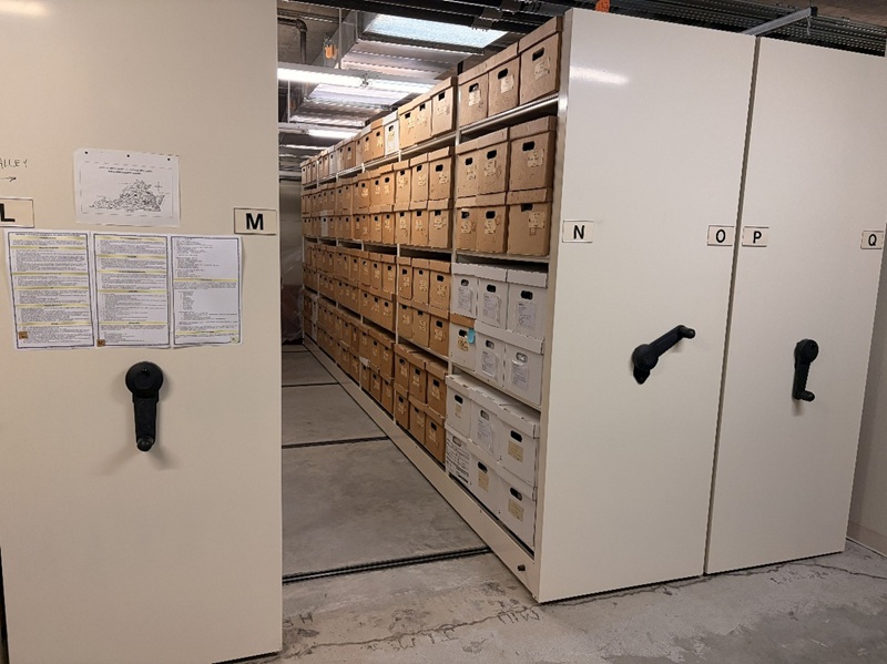
A salvage archaeological project of the Graham-White Site (44RN0021) was conducted in December 1990-April 1991. It was led by DHR Western Region Archaeologist Tom Klatka (now retired) and produced 42-plus boxes of artifacts, soil samples, and charcoal samples that are owned by and curated at the Salem Museum and Historical Society. Deterioration of the plastic and paper bags and boxes requires rehousing the entire collection with new archival materials. During the past several decades, this collection has been moved many times, causing the various containers to deteriorate in numerous storage facilities. The boxes have been infested with silverfish and potentially other invertebrate pests. The entire collection will be processed through the Virginia Museum of Natural History's anoxic chamber, a means of disinfestation that causes no damage and leaves no residue on the collections. All bags will be inventoried to increase accessibility and more accurate collections management and curation. Dr. Kay McCarron with the Salem Historical Society will lead the project. Much of the work on this project will be conducted by volunteers with the Archaeological Society of Virginia (ASV). Members of the Monacan Indian Nation will assist with the project, providing valuable indigenous knowledge and interpretation of the artifacts. This collaboration will be guided by Victoria Ferguson, a member of the Monacan Indian Nation and Tribal Liaison for the Headwaters Chapter of the ASV.