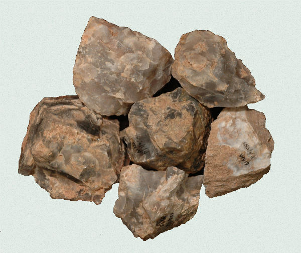
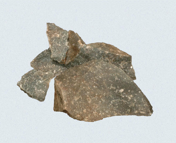
Patuxent Mattaponi Formation quartzite, James River, Virginia.
Type Quartzite
Collection Location:
The Patuxent/Mattaponi Formation quartzite outcrops in five locations along the Fall Line of Virginia. The outcrops have been commercially mined by various sand and gravel companies for the last 70 years with beds up to 30 feet thick. The formations are composed of 4 to 30 cm in diameter weathered cobbles of quartzite with a worn and smoothed surface. The northernmost outcrops on the Potomac and Rappahannock Rivers are in Stafford, Spotsylvania, Caroline and King George counties. The second outcrops are in Caroline County near Milford where the South River joins the Mattaponi River. The third outcrops are along the North Anna River, the South Anna River and down the Pamunkey River in Caroline, King William and Hanover counties. The fourth outcrops, the largest, are along the James and Appomattox River valleys in Henrico, Chesterfield, Prince George and Charles City counties. The southernmost outcrops are in Sussex County along Stony Creek and the Nottoway River (see Nottoway River Quartzite).
Description
The quartzite from both formations is generally fine to very fine grained. The color is predominantly a variation of gray, but ranges to red, pink, yellow, and nearly white.
Distribution
The Patuxent/Mattaponi Formations quartzite dominate the lithic inventories within, downstream of and adjacent to the outcrop areas.
Cultural Implications
This quartzite was used from Paleoindian through the Late Woodland periods. Use dramatically increased in the Middle Archaic and peaked in the Late Archaic. Morrow Mountain and Savannah River and their variants are the dominant projectile point types made from this material.
References
Prepared By Browning 1999