
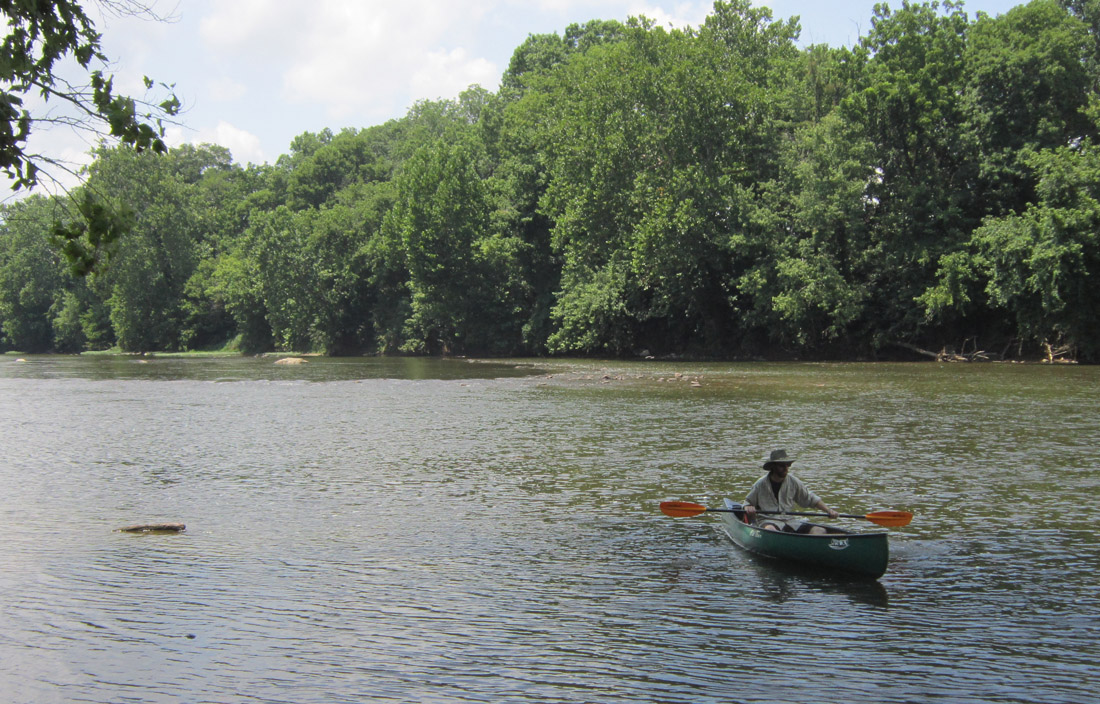
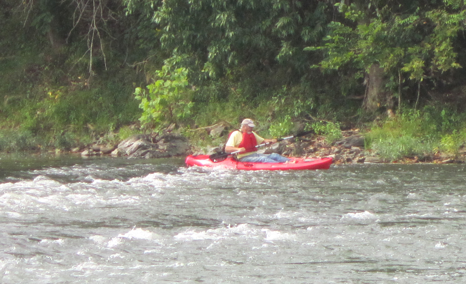
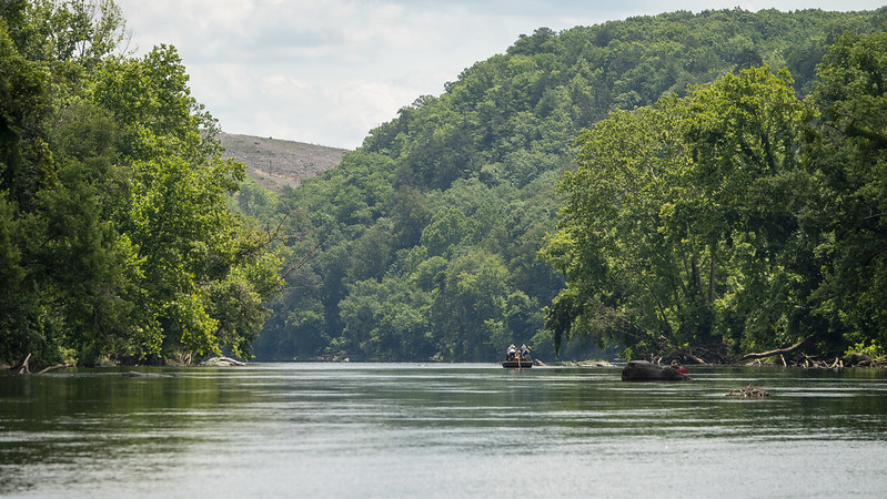
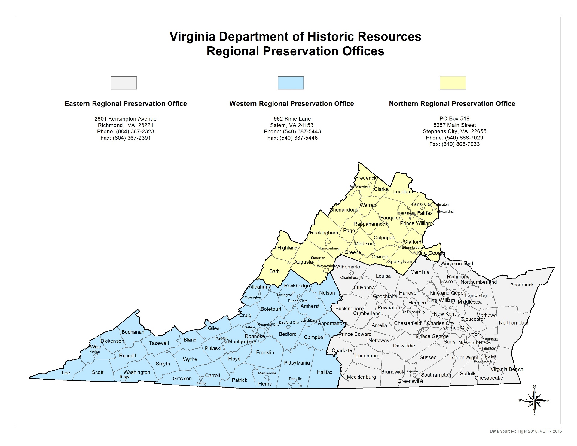
In 2017 DHR’s Northern Regional Preservation Office (NRPO) began conducting archaeological survey of inland waterways in Northern Virginia by using kayaks and canoes to inspect the shorelines and river bottoms. This method of survey is an efficient way to locate sites threatened by ongoing erosion that terrestrial survey could not identify. Watercraft survey has the potential to identify buried sites that plowing has not disturbed as well as a variety of well-preserved underwater sites.
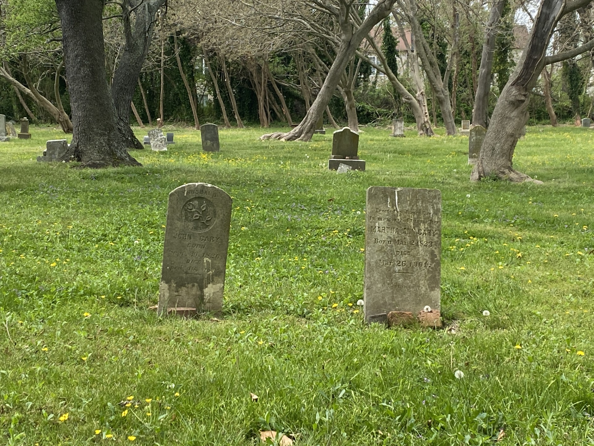
Survey has mostly focused on the Shenandoah River and its tributaries. Thus far, we have surveyed over 50 miles of the Main Stem, and the North and South Forks of the Shenandoah and one of its tributaries, Cedar Creek. The most common site types identified include mills, navigation devices, fish weirs and dams, many of which Bill Trout previously recorded in the 1990s. When we compared Trout's site information to data obtained from the more recent NRPO survey, it was evident that site integrity had diminished over a relatively short period of time by yearly erosion.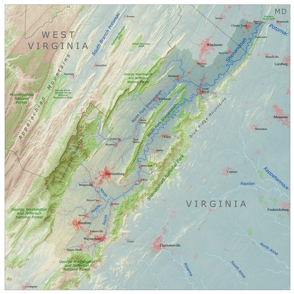
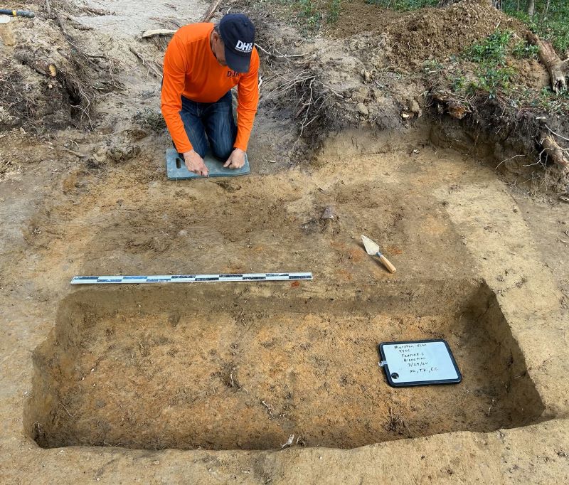
One of the primary goals of the Shenandoah River survey is to identify buried prehistoric Native American sites eroding from the river banks. Although archaeologists previously recorded several prehistoric habitation sites in the river bottomlands — including at least one deeply buried site next to the river identified by backhoe testing, we identified only one such site during the recent Shenandoah River survey. Despite the sparsity of prehistoric habitation sites, reliable informant reports indicate that they occur further upstream on the South Fork of the Shenandoah River.
In August 2020, DHR architectural historian Mike Pulice joined me in conducting a 7.5 mile reconnaissance-level survey of the Virginia shoreline of the Potomac River from Goose Creek to Algonkian Regional Park in Loudoun County. The survey was prompted by a citizen report of a Native American projectile point/knife found eroding out of the riverbank in the survey area. Background research indicated several Native American sites had been recorded in the survey area and that backhoe testing of the adjacent river bottomlands had encountered several stratified/buried Native American sites.
We found prehistoric and historic sites during survey of this section of the Potomac River. The prehistoric habitation sites had sparse debris densities but the presence of pottery at one site identified it to the Woodland period. Historic sites found in the Potomac River, owned by the state of Maryland, were also discovered. One site, a dam constructed of river boulders, is recorded in VCRIS (DHR’s statewide cultural resources GIS and digital database) since part of the dam is on the Virginia shoreline.
When compared to the Shenandoah River survey, we identified a greater number of prehistoric sites during the limited Potomac survey. Siltation and limited shoreline exposures may be masking many Native American sites along the Shenandoah River. The greater presence of historic sites may also be due to their recent age and use of durable construction materials (limestone blocks, river boulders and concrete).
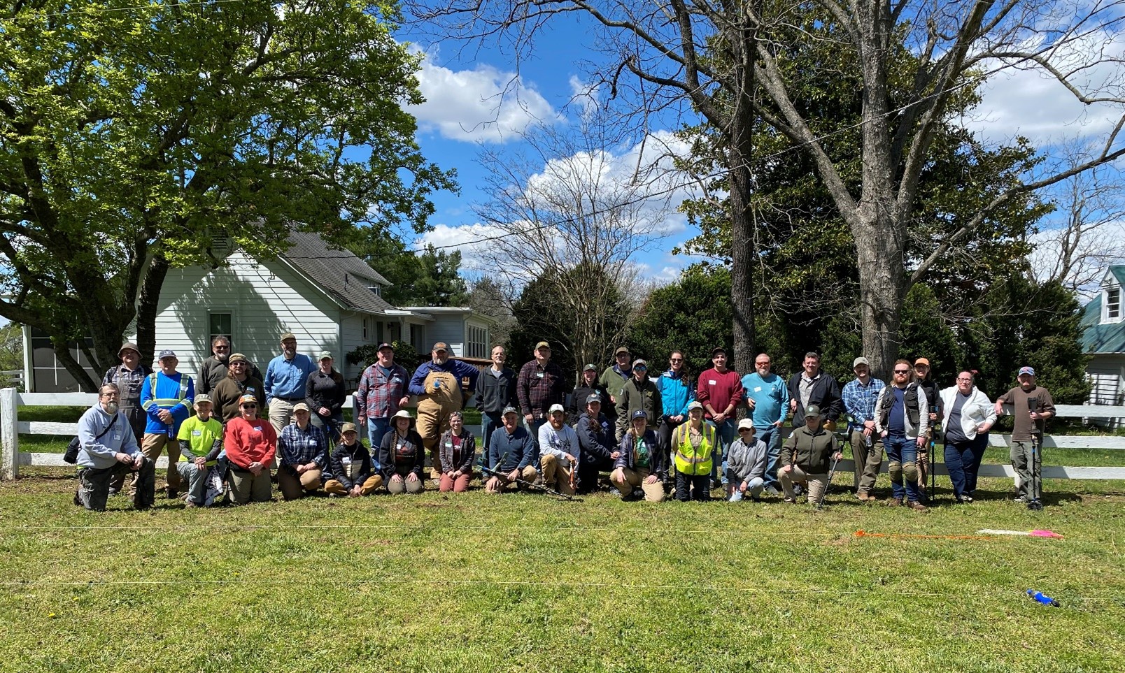
Archaeological survey by watercraft in other regions of the state is highly recommended to identify sites before they are destroyed. Over forty archaeological (VCRIS) site forms have been updated/completed thus far from NRPO watercraft survey. Other watercraft surveys of inland waterways in the NRPO service area are under consideration.
If anyone knows of any sites eroding out of riverbanks in the NRPO service area or you are interested in volunteering for future watercraft survey, please contact me at at bob.jolley@dhr.virginia.gov. or at (540) 868-7032.
–Bob Jolley
DHR Archaeologist, NRPO
*This blog is adapted from an article the author contributed to the Newsletter of the Archeological Society of Virginia, October 2020, No. 238.


