Nine Historic Sites Added to the Virginia Landmarks Register
—New VLR listings are in the counties of Clarke, Isle of Wight (2), King and Queen, Nelson, Westmoreland, and Wise; and the cites of Roanoke and Suffolk—
—Previously listed Third Street Bethel A.M.E. Church in Richmond has updated and expanded nomination—
—VLR listings will be forwarded for nomination to the National Register of Historic Places—
On June 20, the Virginia Board of Historic Resources approved nine sites for listing on the Virginia Landmarks Register. Among them, the house of a former chief of the Rappahannock Indian Tribe, a rural historic district along a portion of the James River where it cuts through the Piedmont, an early Cold War missile defense installation, and places wrought by industries in southwest Virginia.
In King and Queen County, the Chief Otho S. and Susie P. Nelson House connects to an era of revitalization for the Rappahannock Indian Tribe during the 20th century, and the tribe’s decades-long struggle to secure state and federal recognition. Chief Otho Nelson and his wife, Susie, who served as tribal secretary, hosted meetings at their residence for important deliberations over the tribe’s response to many adverse governmental policies including Virginia’s 1924 racial laws that attempted to eliminate Indian identity.
The Nelsons maintained an archive of tribal history at their house, as well as Susie Nelson’s apothecary, an extension of the Nelsons’ medical knowledge based on tribal practices and lore. Between the 1930s and 1950s, the dwelling also served as a grade school for tribal children. The property’s period of significance extends from around 1924 to 1967, the years Otho Nelson was chief of the Rappahannock Indian Tribe. [Click on images to enlarge.]
Encompassing about 3,450 acres along the James River in Nelson County, the Norwood-Wingina Rural Historic District was occupied for thousands of years by the Monacans and their ancestors. Around 1725 Anglo and enslaved African Americans started settling in the area, giving rise to a number of large plantations on bottomlands. By 1794 a tobacco warehouse and a town, now known as Norwood, were established at the confluence of the James and Tye rivers. Navigational improvements along those rivers during the 1800s, most notably the James River & Kanawha Canal, prompted later development of Wingina. After the Civil War, with the arrival of a railroad, the two communities became whistle stops between Richmond and Lynchburg. During the 1900s, the advent of motorized vehicles led to decreased railroad activity, resulting in the Norwood-Wingina district regaining much of its former agricultural character.
Today’s district boasts an array of historic resources including churches and stores, and agricultural- and railroad-related buildings and structures, all recalling the area’s settlement and growth.
During the early Cold War, when the United States began deploying upwards of 200 Nike-Ajax batteries around the nation in 1953, the Army Air Defense Command established Nike-Ajax Launch Site N-75 in Isle of Wight County in 1954. Strategically located, the Nike-Ajax batteries were the nation’s first surface-to-air missile defense program. The Nike-Hercules missile later replaced the Ajax, and in 1961 the military deactivated Launch Site N-75. The Army Signal Corps then adapted the facility for reuse as a radio relay station until 1971, when the military stopped using the property.
One of Virginia’s few intact surface-to-air Nike-Ajax compounds, Launch Site N-75’s historic features include three underground missile magazines, earthen berms, separate Launcher and Administrative areas, and assorted concrete block buildings from the era.
In mountainous southwest Virginia’s Wise County, coal mining gave rise to the Appalachia Commercial Historic District, which comprises the core of the Town of Appalachia, historically the primary retail and entertainment hub for residents of surrounding coal camp communities from the 1890s through the 1950s.
Initially platted in 1897, Appalachia developed along three railroads that ran through the area beginning in 1890. In 1911, the Virginia & Southwestern Railroad moved its shops from Bristol to Appalachia, which triggered additional investment and growth in the young town. In the 1950s, the town experienced a decline after the advent of mechanized coal mining practices and the railroad’s use of diesel rather than steam locomotives. Those technological advances, requiring less manpower, resulted in a dramatic loss of jobs and population in the area.
The Appalachia Commercial Historic District boasts notable examples of early 20th-century commercial architecture executed in Colonial Revival, Art Deco, and later Moderne styles. Exhibiting a unified plan and visual continuity, the district’s layout adapts to the steep terrain of its environs.
Established in 1917 along the Roanoke River, the American Viscose Company plant in Roanoke expanded rapidly in response to the growing use of rayon, known as “artificial silk,” by manufacturers producing hosiery, clothing, upholstery, tires, and other items. By 1928, the plant covered 212 acres and had reportedly become the world’s largest rayon manufacturing complex, with three processing facilities and 5,500 workers, of which at least half were women.
With dining halls, a gymnasium, dispensary, and dormitory for single women, the company’s Roanoke operations thrived during World War II when the facility produced fabric for parachutes, paratrooper suits, and machinery. After the war, competition from more modernized plants and new materials such as nylon resulted in the Roanoke operations closing by 1958. In 1961, local investors purchased the property for an industrial park, as it continues today. The historic district includes a well-preserved collection of 18 industrial buildings that represent functional designs and construction techniques for rayon manufacture in a large industrial plant. Beyond the district, the plant had a significant and lasting impact in the development of surrounding neighborhoods and the general prosperity of Roanoke.
During its June 20 quarterly meeting, the Virginia Board of Historic Resources (VBHR) also approved a second Virginia Landmarks Register (VLR) listing in Isle of Wight County:
- Around 1780 Major Francis Boykin purchased a two-room dwelling with basement on a 400-acre plantation, property now occupied by the Isle of Wight County Courthouse Complex. Boykin established a tavern in the dwelling and got the county to relocate its existing courthouse from Smithfield to the property and to construct its earliest courthouse buildings there. The complex now consists of four buildings: Boykin’s Tavern; the 1801 Federal-style Courthouse, substantially enlarged at later dates; a Federal-style 1820 Clerk’s Office, also later enlarged; and a Colonial Revival-style School Administration Building, constructed in 1960 with a Flemish bond brick exterior. The courthouse grounds also feature a 1905 Confederate Monument, and a 1957 granite stone monument commemorating the settlement of Jamestown, as well as a 1930s brick wall. Despite its evolving nature, the Courthouse Complex and its grounds continue to evoke Early National Period county seats centrally located within rural jurisdictions.
Additionally, the VBHR added the following three sites to the VLR:
- Established in Nansemond County, now Suffolk City, the Samuel Eley House property consists of a circa-1826 Federal-style house, remodeled in the 1850s, and several outbuildings and structures. When the house was built, Nansemond was emerging from a brief agricultural depression, during an era when farmers were learning to enrich depleted soils with minerals.
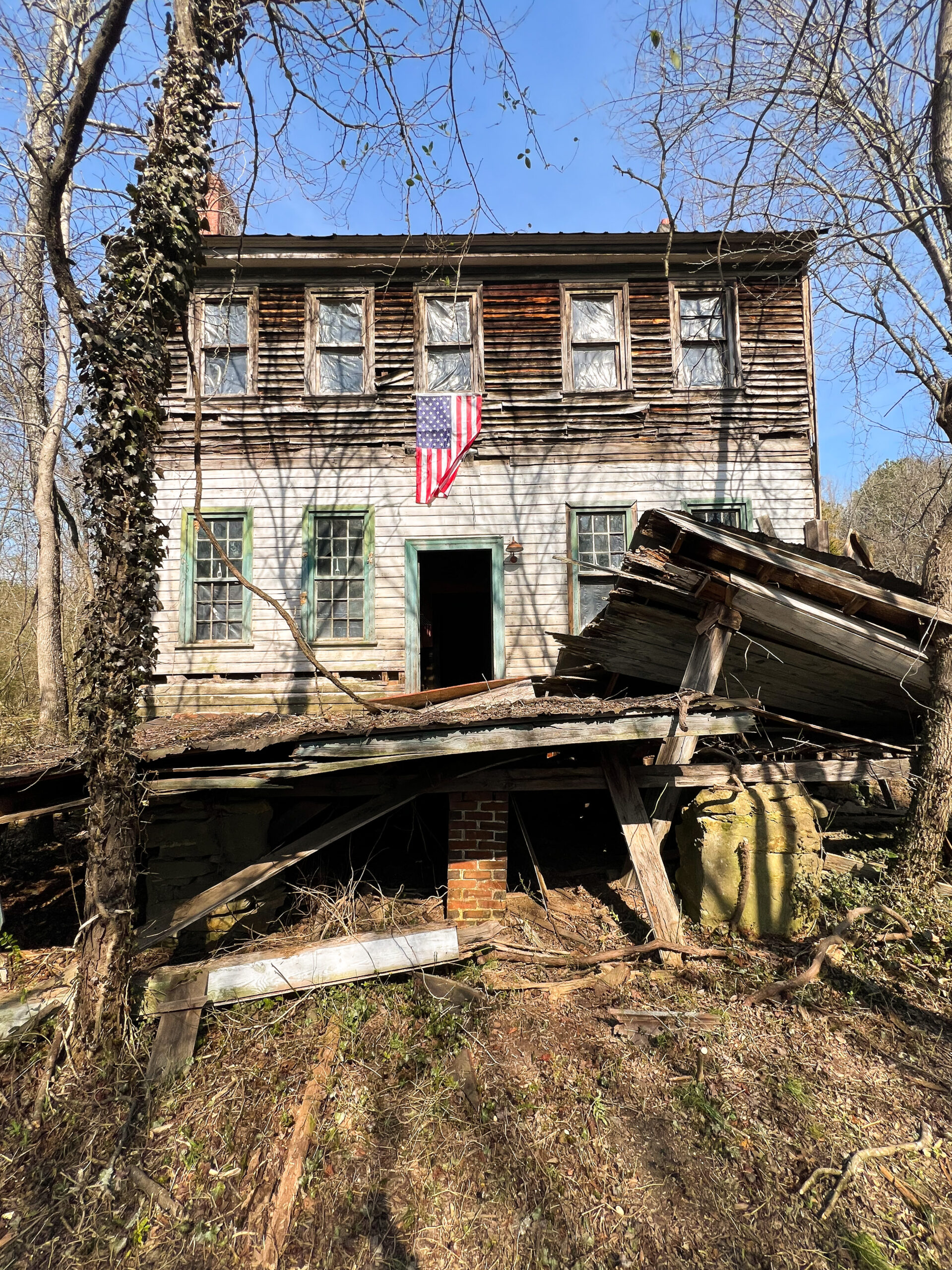
- Westmoreland County’s Kirnan (formerly China Hall), constructed in 1781, exemplifies Early Republic Period architecture that reflects the wealth and status of the Tidewater family that built it. The house was expanded in the early 1800s, adding a parlor on the front of the house. That parlor addition, a feature of many Tidewater houses of the era, demonstrates the importance wealthy society placed on entertaining and hospitality. All significant alterations to the house were completed by 1830.
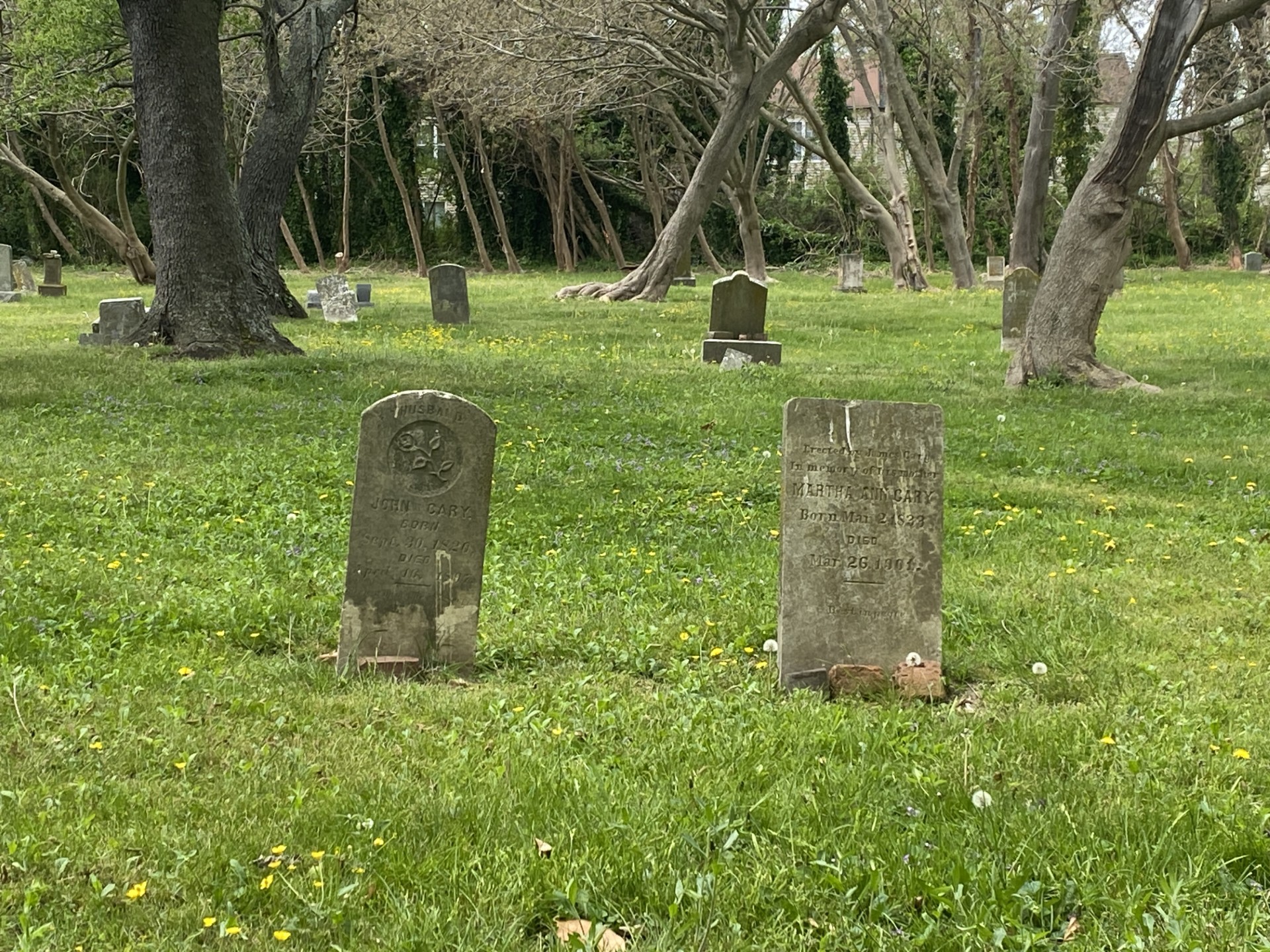
- Stone’s Chapel traces back to the late 1700s, after German and Scots-Irish settlers moved into the northwestern portion of present-day Clarke County from Maryland and Pennsylvania following the American Revolution. Replacing a prior wooden church, the current 1848 brick chapel was home to both German- and English-speaking parishioners, as Lutheran, German Reformed, and Presbyterian congregations—the primary Protestant groups in the Shenandoah Valley—shared the church. In 1886, when Stone’s Chapel Presbyterian Church was established, the German Reformed congregation dissolved, as did the Lutheran congregation in 1899. By 1905, the improved financial condition of the church and its congregants resulted in the addition of a Sabbath room and a vestibule tower, and the installation of memorial stained-glass windows in the sanctuary. The oldest marked burials in the church cemetery are 1816.
Also approved by the VBHR, an updated nomination form for the Third Street Bethel A.M.E. Church in Richmond to provide more information about the church’s significance since its listing on the VLR and National Register of Historic Places in 1975:
- Constructed in 1857, Third Street Bethel was recognized as the mother church of the AME denomination in Virginia in 1867, the year its first African American pastor was appointed. With substantial remodeling in 1875 and 1914, today’s Gothic Revival-style church has contributed to the broader history of African Americans from the mid-19th century through the Civil Rights Movement of the 1960s. In 1901, Maggie L. Walker, during an address at the church, laid out her plans for establishing a bank, a newspaper, and a department store, declaring, “let us have a bank that will take the nickels and turn them into dollars.” In 1970, the church’s pastor Reverend E. William Judge became the first African American man in Virginia history to participate in a gubernatorial inauguration, when he officiated for Governor Linwood Holton’s 1970 ceremony.
The Department of Historic Resources will forward the documentation for these newly-listed VLR sites to the National Park Service for nomination to the National Register of Historic Places.
Listing a property in the state or national registers is honorary and sets no restrictions on what a property owner may do with his or her property. The designation is first and foremost an invitation to learn about and experience authentic and significant places in Virginia’s history.
