Meet the New Division of Resource Information & Registers

Formerly called the Division of Survey & Information Management, DHR’s go-to department for data services has been given a new name, but that’s not the only change.
By Jolene Smith, Director of Resource Information & Registers
From time to time, program areas at DHR may move to different divisions within the agency. In December 2023, we decided to take the opportunity to consider how all our divisions work together and, in turn, made some adjustments. The division formerly known as Survey and Information Management is pleased to invite the Historic Registers Program into our fold. Our new division, which we are calling Resource Information & Registers, will now include the following program areas and services:
- Archives Management,
- The Virginia Cultural Resources Information System (VCRIS),
- Architectural and Archaeological Surveying and Data Management,
- Geographic Information System (GIS) Projects, and
- The Historic Registers Program.
Beyond welcoming the Registers Program to our division, we have been busy coordinating information about Virginia’s historic resources, and improving various tools that manage our data so they’re easier for the public to use. Here are a few highlights of what we’ve been working on.
Archives
DHR Archivist Quatro Hubbard has worked closely with our colleagues emeritus, David Edwards and Calder Loth, to transitioning the digital version of the Virginia Landmarks Register, commonly referred to as the VLR Online, into its current form on DHR’s new website.
Loretta Tillman, DHR Archives & Survey Assistant, has taken on the herculean task of organizing and documenting a large collection of archaeological slides for future use by the public.
DHR’s Archives Assistant Jason Kramer has continued to provide excellent customer service to researchers as well as members of the public. He has also worked to integrate a large volume of staff recommendations into our digitized collections.
Honorary division member Linda Kirk, DHR Support Services Manager, has been hard at work scanning district files. Last year, she completed a project which required her to scan original archaeology site forms for future use.
Long-time volunteer Haywood Wigglesworth has digitized hundreds of “stop signs” and missing map locations, making our geospatial data stronger than ever.
Architectural Survey and Data
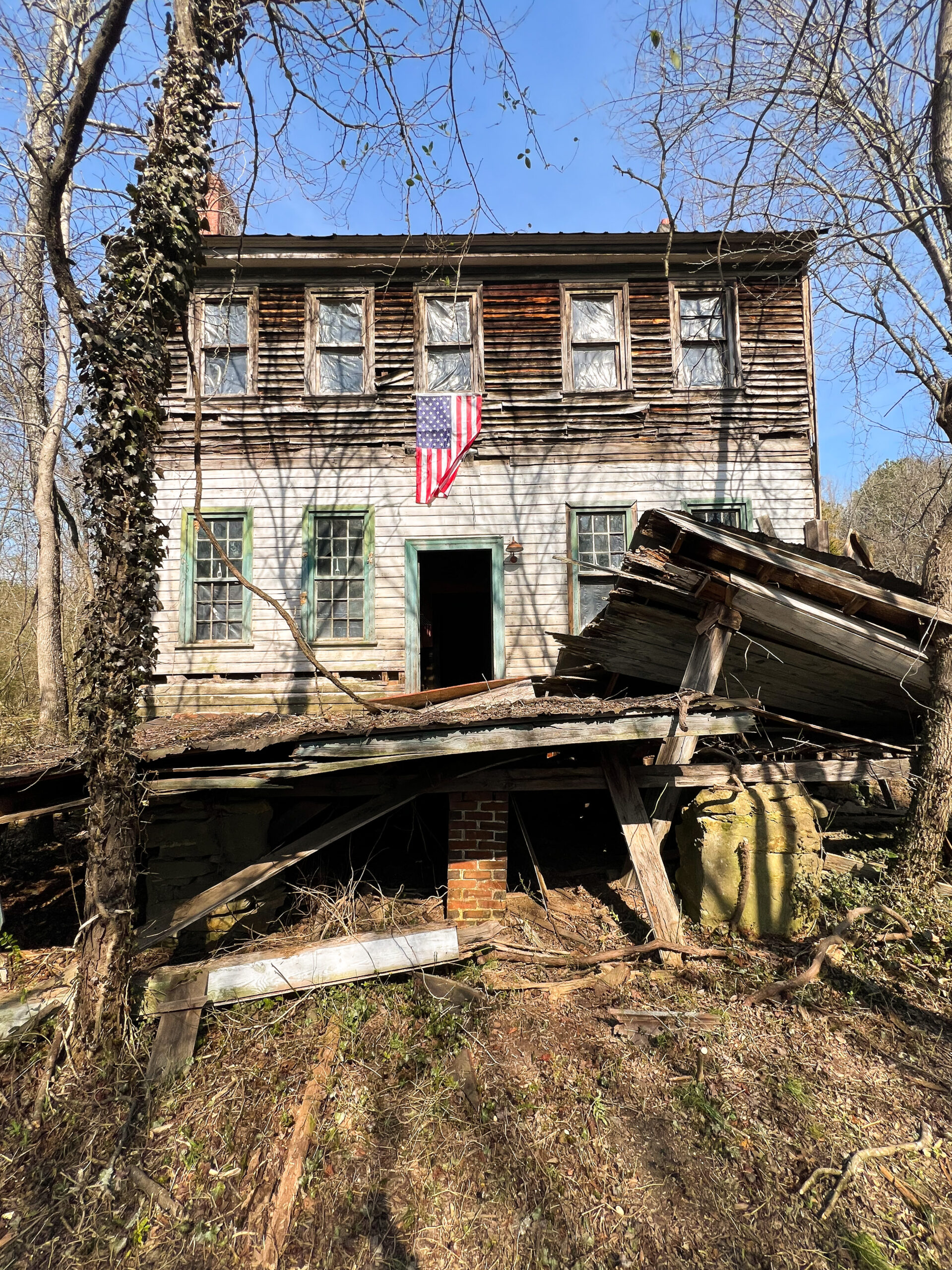
Blake McDonald, DHR Architectural Survey Program Manager, led another successful year of the Cost Share Program and provided lots of support to the Emergency Supplemental Historic Preservation Fund (ESHPF) grant program. Blake will be stepping into a new position to support grants and grant-related survey. While he is leaving our division, we’re glad he’s not going far!
In addition to conducting architectural survey himself, DHR Architectural Survey Coordinator Austin Walker has done a stellar job of integrating new survey information and keeping us sailing along smoothly.
Archaeological Survey and Data
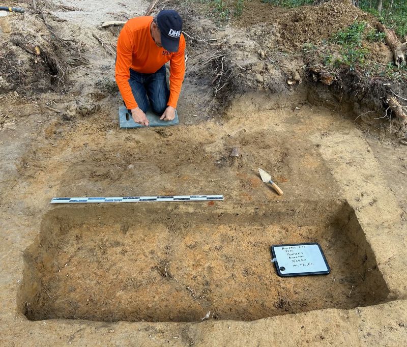
DHR Archaeology Data Manager Sean Tennant has taken a deep dive into archaeological predictive modeling, putting DHR in position to better evaluate models used by other organizations and ultimately deploy our own.
VCRIS and GIS
The year 2023 marked the 10-year anniversary of the Virginia Cultural Resource Information System (VCRIS)! In 2023 we worked with developers to improve the search interfaces and update the public viewer. We encourage everyone to stay tuned – plans are underway for a big facelift and major improvements in 2024!
Dominic Bascone, DHR’s GIS Coordinator, continues to create maps for colleagues and clients. He is also working on updating geospatial data for land conservation and coastal resilience.
QUICK FACTS
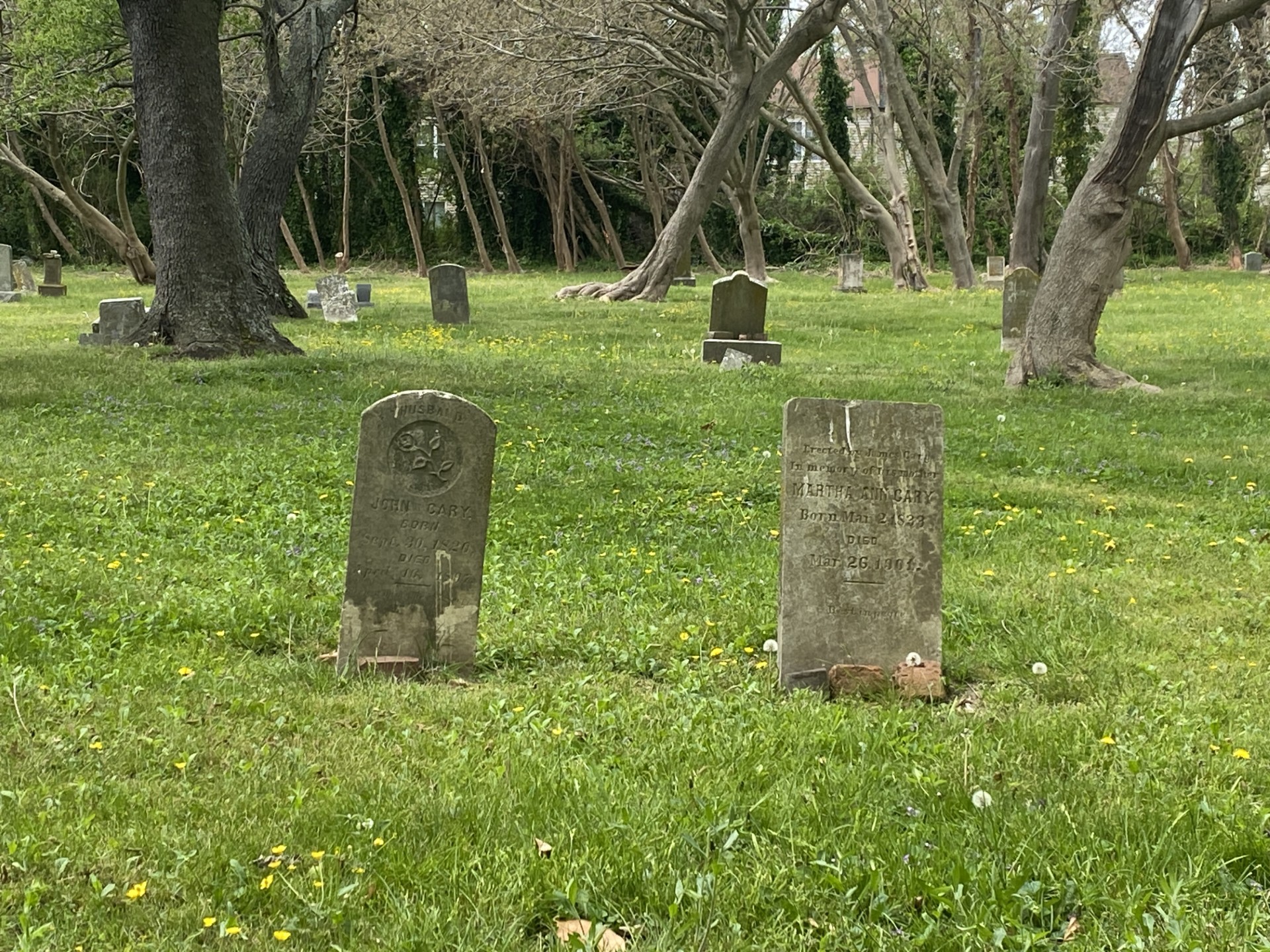
VCRIS is our statewide inventory of buildings, historic districts, structures, archaeological sites, and other types of places. If we know about it, it’s in VCRIS. The system contains information about more than 278,000 properties, with new ones added every day. Information in VCRIS helps decisionmakers understand the possible impacts of projects on historic places and communities.
The Historic Registers are composed of the Virginia Landmarks Register (VLR) and the National Register of Historic Places (NRHP). These are honorary lists of places that have been determined to be historically significant according to specific themes and criteria.


