Visitors to Amelia and Prince Edward counties may now tour the site of the last major battle of the American Civil War.
By Lena McDonald, Register Historian
On April 6, 1865, Sailor’s Creek (often mistakenly spelled Sayler’s Creek) was the site of the last major battle of the Civil War between the armies of U. S. General Ulysses S. Grant and Confederate General Robert E. Lee before Lee’s surrender at Appomattox Court House. Located in Amelia and Prince Edward counties, three engagements at the Hillsman farm, Marshall’s Crossroads and the Lockett farm, all near Sailor’s Creek, took away almost one-quarter of Lee’s remaining Army of Northern Virginia. The U.S. Army successfully cut off the Confederates’ line of retreat and attacked the rear guard. Some 7,700 Confederate soldiers as well as wagons, artillery, and eight Confederate generals were captured at Sailor’s Creek Battlefield. Grant’s success quickly led to the final downfall of Lee’s army three days later. In reporting his victory to President Lincoln, Gen. Philip Sheridan (by way of Gen. Grant) wrote, “if the thing is pressed, I think that Lee will surrender.” Lincoln replied, “Let the thing be pressed.” Today, the Hillsman House and the Lockett House are part of the interpretive sites within the Sailor’s Creek Battlefield Historical State Park in Amelia and Prince Edward counties.

The historical importance of Sailor’s Creek Battlefield was recognized immediately. In 1867, under the direction of Bvt. Brig. General N. Michler, Major of Engineers, and Major J.E. Weyss (assisted by F. Theilkuhl, J. Strasser and G. Thompson) a survey was done of the battlefield and detailed maps were produced for the government. These maps show roads, creeks, houses and outbuildings, ground cover, and some topography. By comparing these to modern topographical maps one can see very little change over the last 120 years.[1] Photos taken of the park during the mid-1930s confirm that the landscape remained largely unchanged at this time.

Government efforts to preserve the land where the battles of Sailor’s Creek took place date back at least to 1936, when the Virginia General Assembly appropriated $1,500 to purchase 10 acres of battlefield land and the small Overton-Hillsman Farmhouse that served as a field hospital for Union and Confederate soldiers. Over the years, the park has continued to grow to approximately 380 acres along with an additional 741 privately-owned acres that are in a conservation easement.[2] On October 26,1937, the Advisory Board on National Parks, Historic Sites, Buildings and Monuments declared that the Sailor’s Creek area was of national significance.[3] In 1984, a nomination form was prepared for the battlefield; the form focuses on the portions of the battlefield under state ownership at that time, but the importance of privately-owned lands also was acknowledged. The nomination resulted in listing of the Sailor’s Creek Battlefield Sate Park in the Virginia Landmarks Register in 1984 and in the National Register of Historic Places in 1985. Simultaneous to the National Register listing, the park was designated a National Historic Landmark, a designation that is reserved only for the nation’s most important historic places.

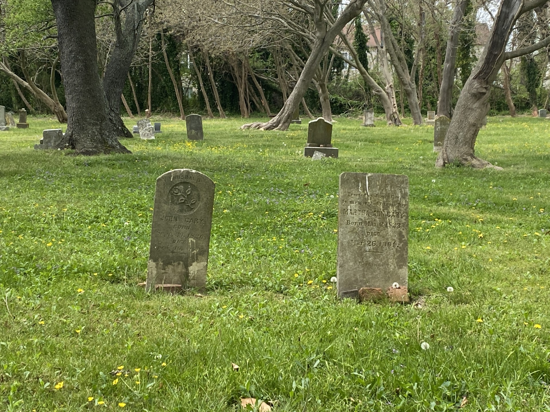
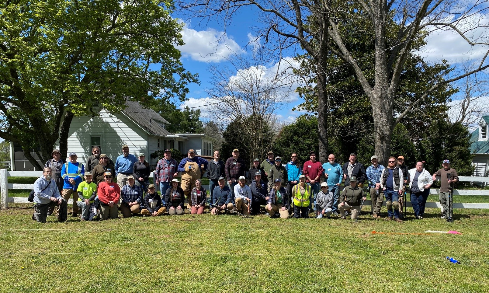
Within the battlefield, the small Overton-Hillsman House was built circa 1780-1810 by Moses Overton. It served as a field hospital for the Union’s 6th Army Corps during the Civil War. About 358 Union and 161 Confederate soldiers were treated on the property, on the lawn and in the house. A few days later, the wounded were moved by wagon to a larger hospital at Burkeville Junction 6 miles away. The house was acquired by the Commonwealth in 1936. It was unfurnished at the time but, using numerous primary sources, a private donor was able to find and purchase furnishings to accurately recreate the dwelling’s historic physical characteristics. In 2009, the Overton-Hillsman farmhouse was restored and furnished as a field hospital and home to the Hillsman family. Visitors can tour the farmhouse for free upon request during normal park hours; see the state park’s information page here for details. In 2012, the park opened its Visitor Center that houses exhibits showcasing artifacts and research about the battles of Sailor’s Creek and the war’s impact on the citizens of Southside Virginia.

Additionally, the park today has seven hiking trails with interpretive signs. The trail located directly behind the visitor center is known as the Stagg Trail (.4 mile), which connects with the Kershaw Trail at a promontory dubbed the Overlook. Visitors may take the Kershaw Trail (.9 mile)to go to Sailor's Creek, where the Union army traversed the battlefield to assault the Confederate position. Hikers can see where Gen. Custis Lee counterattacked U.S. forces at the .8-mile Custis Lee Trail, which is situated across the road from the Overlook. The Seymour Trail (.2 mile) connects the Custis Lee Trail to Sailor’s Creek. The Hillsman House offers the Wheaton Trail (.7 mile), which takes visitors from the house to the creek and back, or visitors can pick up The Nature Spur Trail for an additional (.1 mile) walk back to the house. At Marshall's Crossroads, signs on the .2-mile Pickett Trail describe the final fighting at Sailor's Creek.[4]
Footnotes:
[1] See the VLR/NRHP/National Historic Landmark nomination form, Christopher M. Calkins, “Sayler’s [sic] Creek Battlefield,” June 1984, Section 7, p. 1.
[2] Zoe Rogers, “April Park of the Month: Sailor’s Creek Battlefield State Park,” April 1, 2014, https://www.dcr.virginia.gov/state-parks/blog/april-park-of-the-month-sailors-creek-battlefield-historical-state-park.
[3] Calkins, Section 8, p. 1.
[4] More information about visiting Sailor’s Creek Battlefield State Park is available at https://www.dcr.virginia.gov/state-parks/sailors-creek.
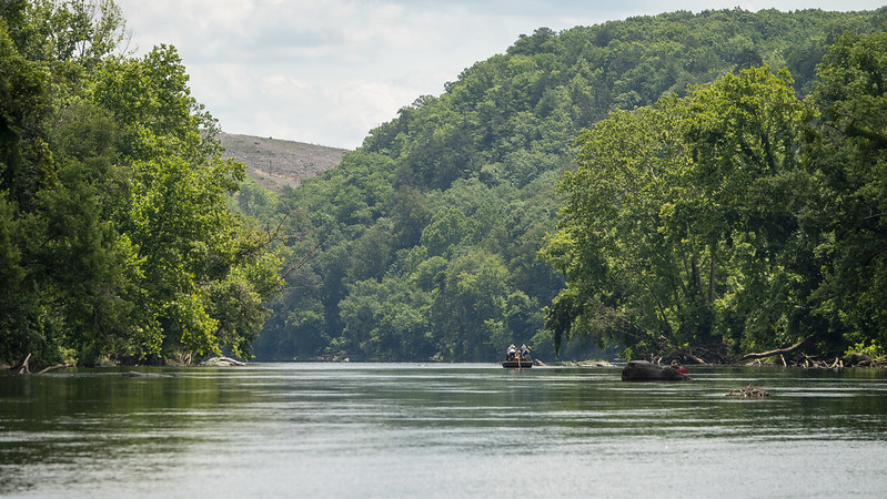
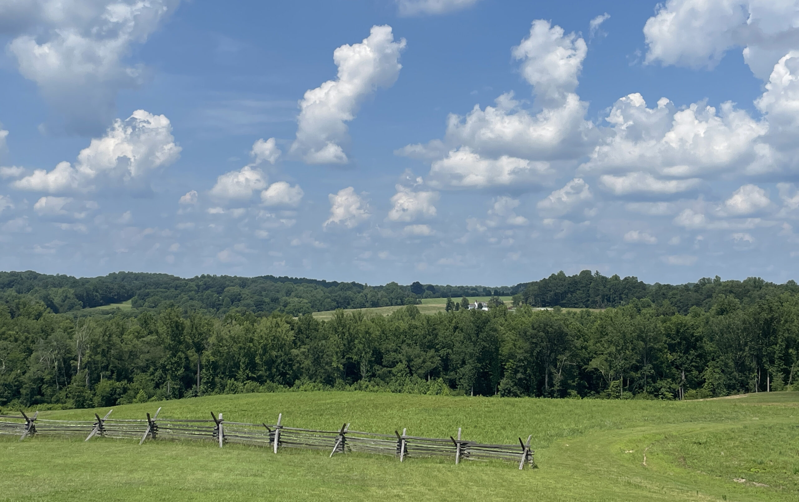
Photographs of the battlefield taken by DHR staff archaeologist Brendan Burke (Figures 4 and 5) show the continued pristine condition of this nationally important battlefield.